Last updated on 2021-11-02
A delicate jewel of Pinnacles
This was my second SOTA activation (ever) and wow was it amazing compared to my first! I love the national parks, and yet I didn’t know about the park closest to my home in the San Francisco Bay Area: Pinnacles National Park. Just 80 miles south of San Jose, this was a National Monument until 2013 when Congress and President Obama promoted it to a National Park.
Over two days I activated 3 SOTA peaks. Day 1 was the easiest and had some of the best views: Hawkins Peak (see Day 2 trip reports for South Chalone and North Chalone). When planning the trip I was expecting to spend three days in the park and had hoped to hit all 6 peaks (two per day). I knew from Jeff’s trip reports that several peaks would be challenging, but in the end I only activated 3 of them due to incorrect planning as a beginner, a late start, and some very sore muscles. Waking early on day one for the long drive, I had car trouble (from a relatively new car), the Oakland Ham Radio Outlet (which doesn’t exist anymore) had a power failure and their registers were down, and I got caught in traffic. Arriving much later than planned, I decided on one of the most straightforward climbs from the west-entrance of the park: Hawkins Peak.
What to know about Pinnacles NP
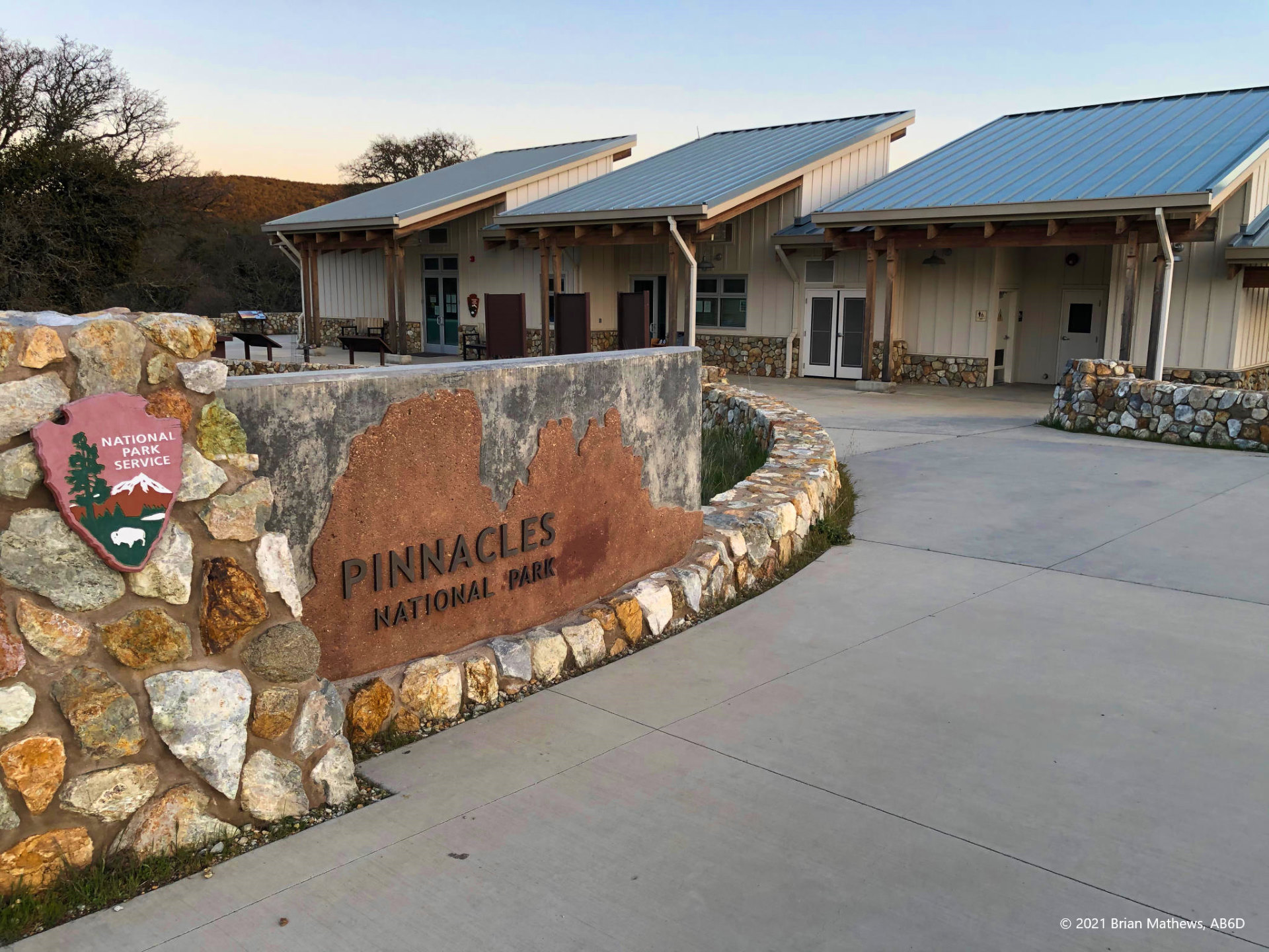
1. West-side vs. East-side
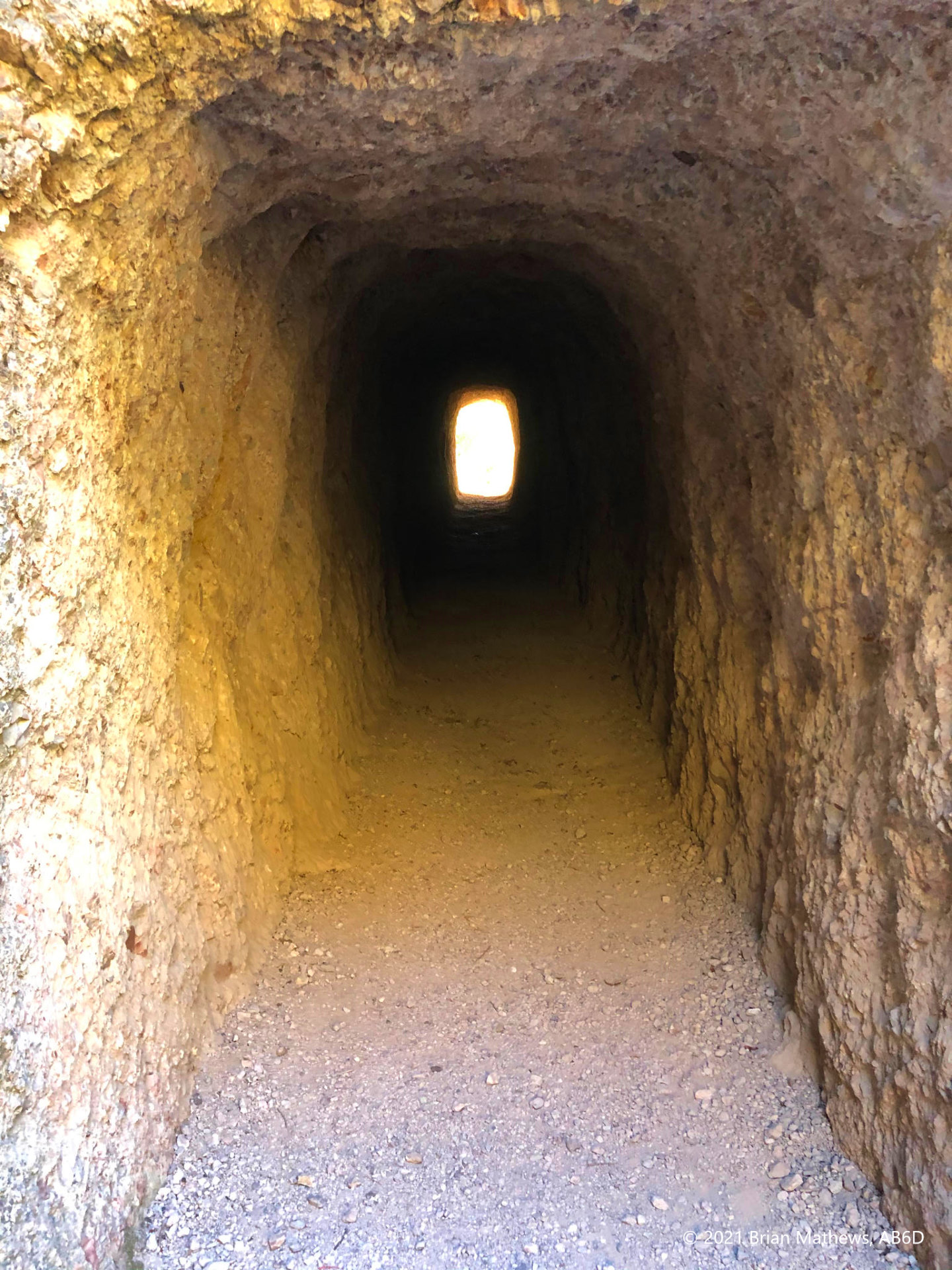
The park has two entrances: west and east. Between these entrances is a mountain range and thus there are no roads connecting the different sides of the park! The only connection are (rugged) hiking paths. To get from one side to the other involves driving outside of the park, circling all the way around the mountains (!), and entering the other side. Check Google Maps: it takes a long time, especially at night on some twisty roads. Note that cell service is often not available at lower elevations in or around the park, so be sure to download your maps ahead of time.
The east side is where most of the infrastructure is: campsites, ranger stations, store, people, etc. The west side is mainly a lot of hiking trailheads, and a few parking lots with pit toilets, and one exception: a brand-new ranger and interpretive station at the west entrance. It was closed due to the COVID-19 pandemic, but the very new (and very clean) bathrooms were open and it had more parking than elsewhere in the park.
Note: Click on images to see full-size, use arrows to sequence
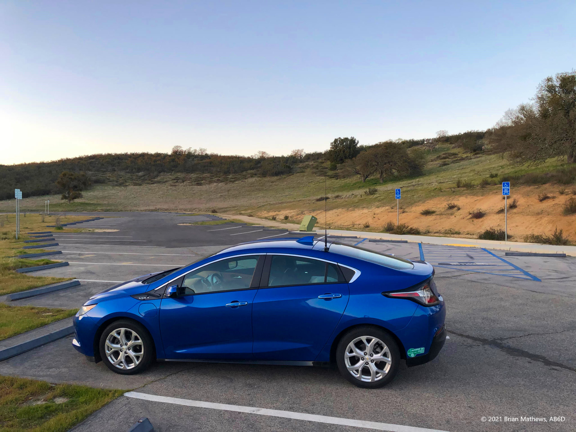
2. Parking
Like many National Parks, Pinnacles can be overrun with visitors. This is especially true for this park which is much smaller than other national parks. Pinnacles has much less parking and infrastructure than most (remember, until recently it was only a National Monument) . I went in late March during the height of COVID-19 before the crush of summer visitors arrived and yet parking was still a huge (!) challenge on the east side. I can’t imagine trying to park during the busy months on the east side. When I was there in late March, the west side had plenty of parking and a lot fewer people. Note, however, that parking near the trailheads even on the west side is limited.
3. Heat
I went in late March and the weather was perfect during the day, while quite chilly (!) at night. However, trip reports from other people indicate that Pinnacles can get very hot in the summer. Combine that with some serious hiking and it can be an issue if you don’t have water.
Originally this trip wasn’t going to be a SOTA trip: my wife had reserved a family tent “cabin” on the east-side for a 3-day weekend, but the kids had conflicts and only I was able to go: perfect for SOTA adventures, The tent cabins are quite nice and relatively new, but at night a huge family of raccoons likes to put on a majorly noisy circus all around the cabins, and frequently under the raised floor of the cabin, banging on the beams and each other. I’m glad I had secured all food in a bear-box outside the cabin, and also glad I had earplugs because those raccoons were like partying teenagers for hours. If you aren’t a nature person, you might get freaked out by them being only a foot or two outside the canvas of your tent, especially since they sound bigger than they are.
The Approach
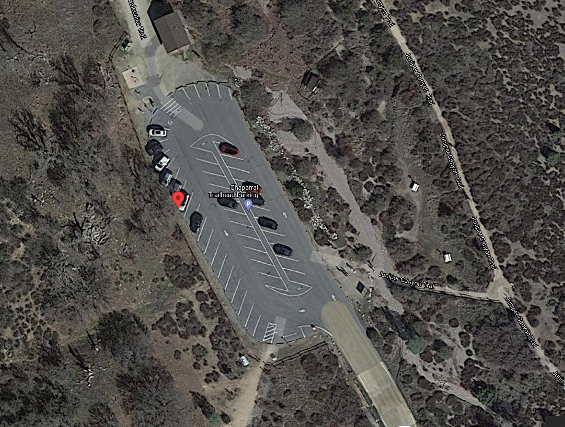
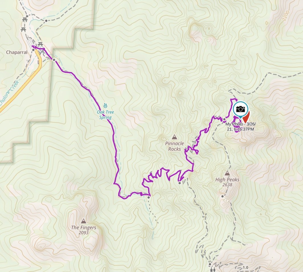
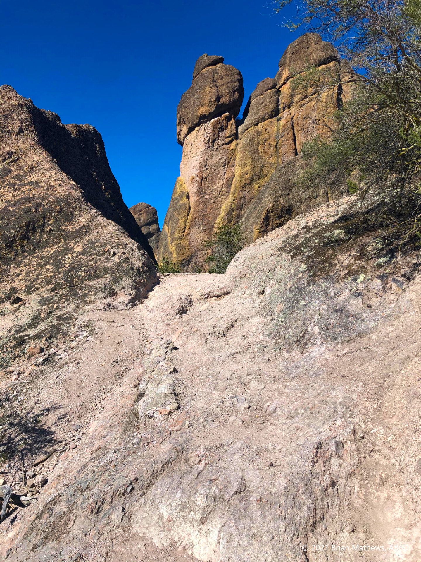
There are multiple (!) ways to Hawkins Peak. Thankfully I had invested in a full subscription to GaiaGPS and had downloaded all the relevant maps (remember: cell service is spotty and often not available at lower altitudes). I took the easiest route up from the west entrance. Many of the other trails from the east-entrance are much more challenging (steep climbs, and much longer hikes). My pleasant route was:
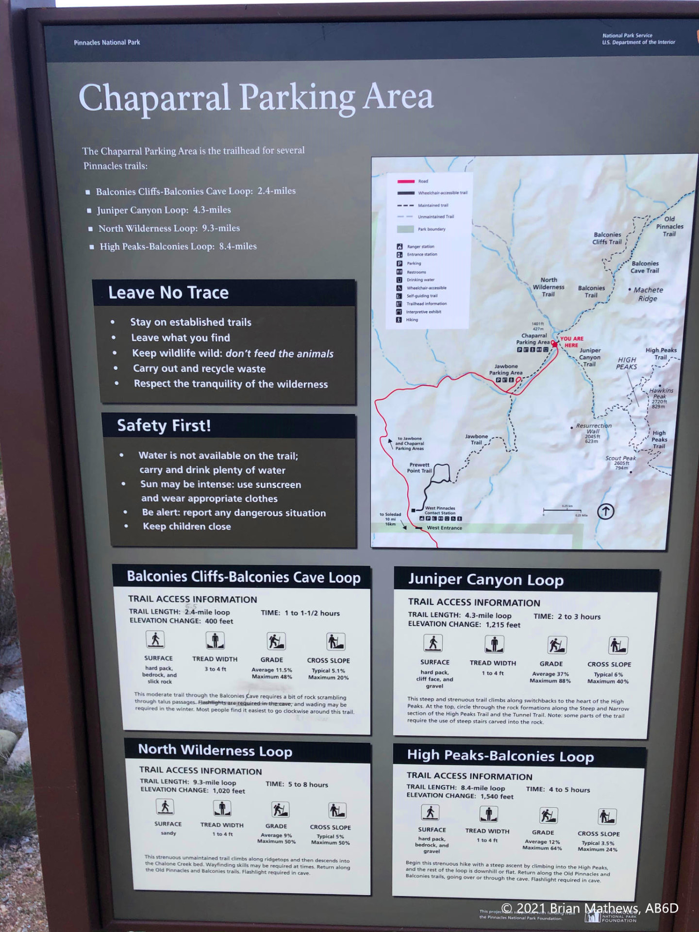
- Start at the Chaparral Parking Lot
- Take the Juniper Canyon Trail for 1.14 miles (770 feet of ascent)
- Turn left onto the Tunnel Trail and hike for 0.49 miles (504 more feet of ascent)
- Turn left onto the High Peaks Trail and look for a use trail to the peak on your right.
- Remember the SOTA 25-meter rule (82 feet): you don’t need to actually reach the summit, you can find any spot 82-feet down from the peak altitude.
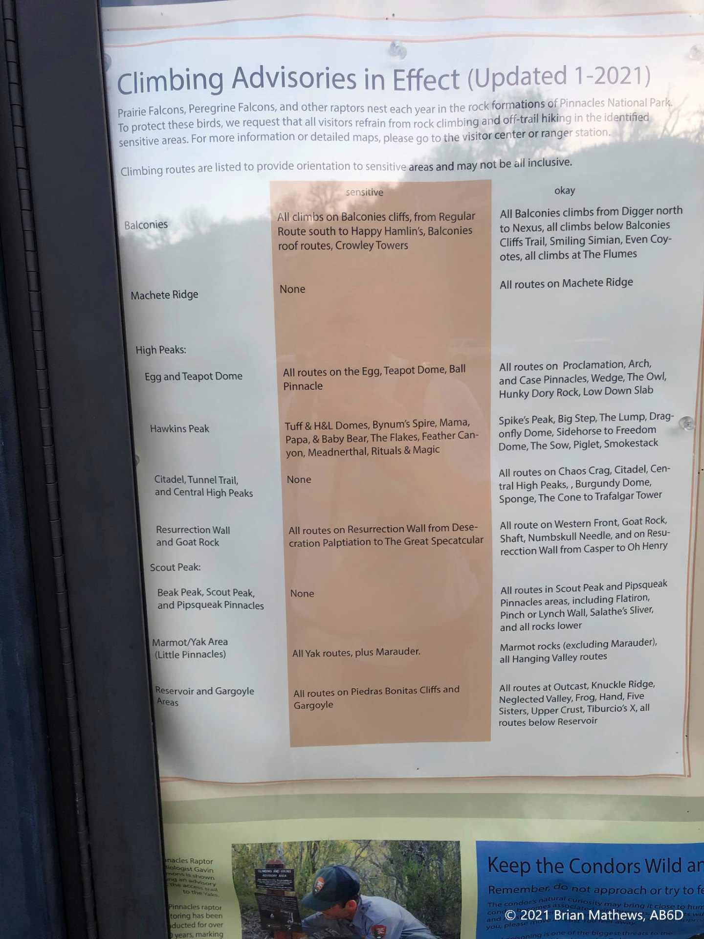
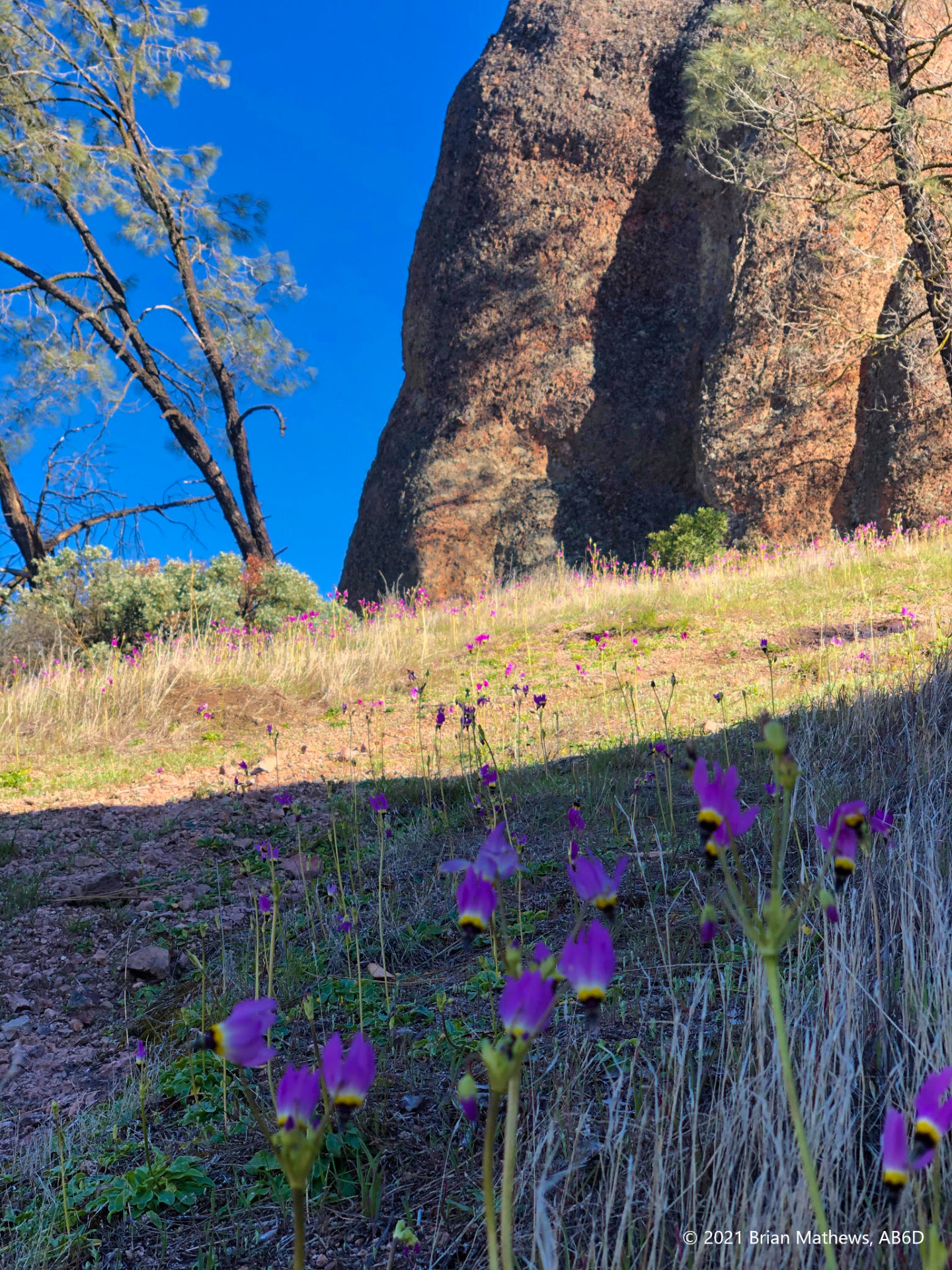
Note: this is a sensitive wildlife area. Leave no trace. You will need to circle around the peak a bit back and forth on the High Peaks Trail to find a non-damaging easy scramble route on the rocks and the use trail to avoid trampling the wildflower beds, etc. Be patient, observant, and find a non-damaging way before proceeding. Remember that National Parks get zillions of visitors and it needs to last. Also remember that birds nest in some of the Hawkins Peak areas and should be avoided.
You should be willing to abort the summit and just enjoy the views from the High Peaks Trail, especially if there are seasonal or other park restrictions in place. Remember: this is only 2 points which you can bag on the North and South Chalone peaks in the park that have well established trails.
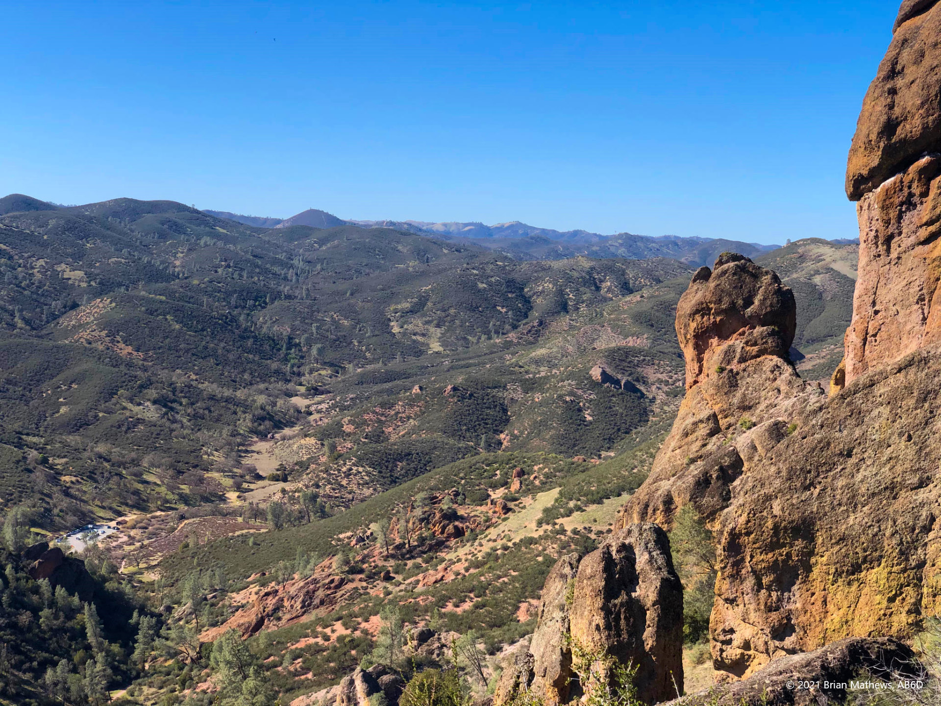
The hike up has plenty of switchbacks, is well maintained, and is a nice gradient: not too steep for people who only hike on occasion, but steep enough to get a workout if you move fast.
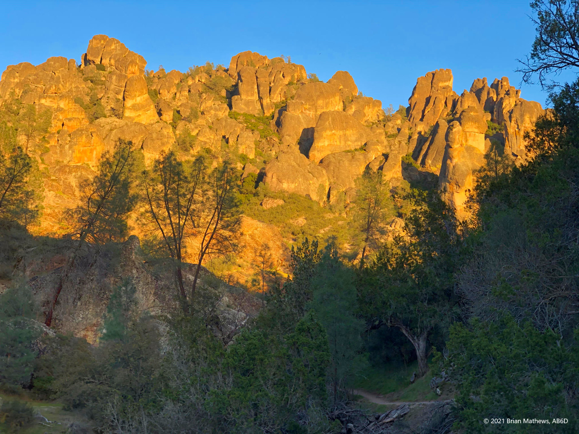
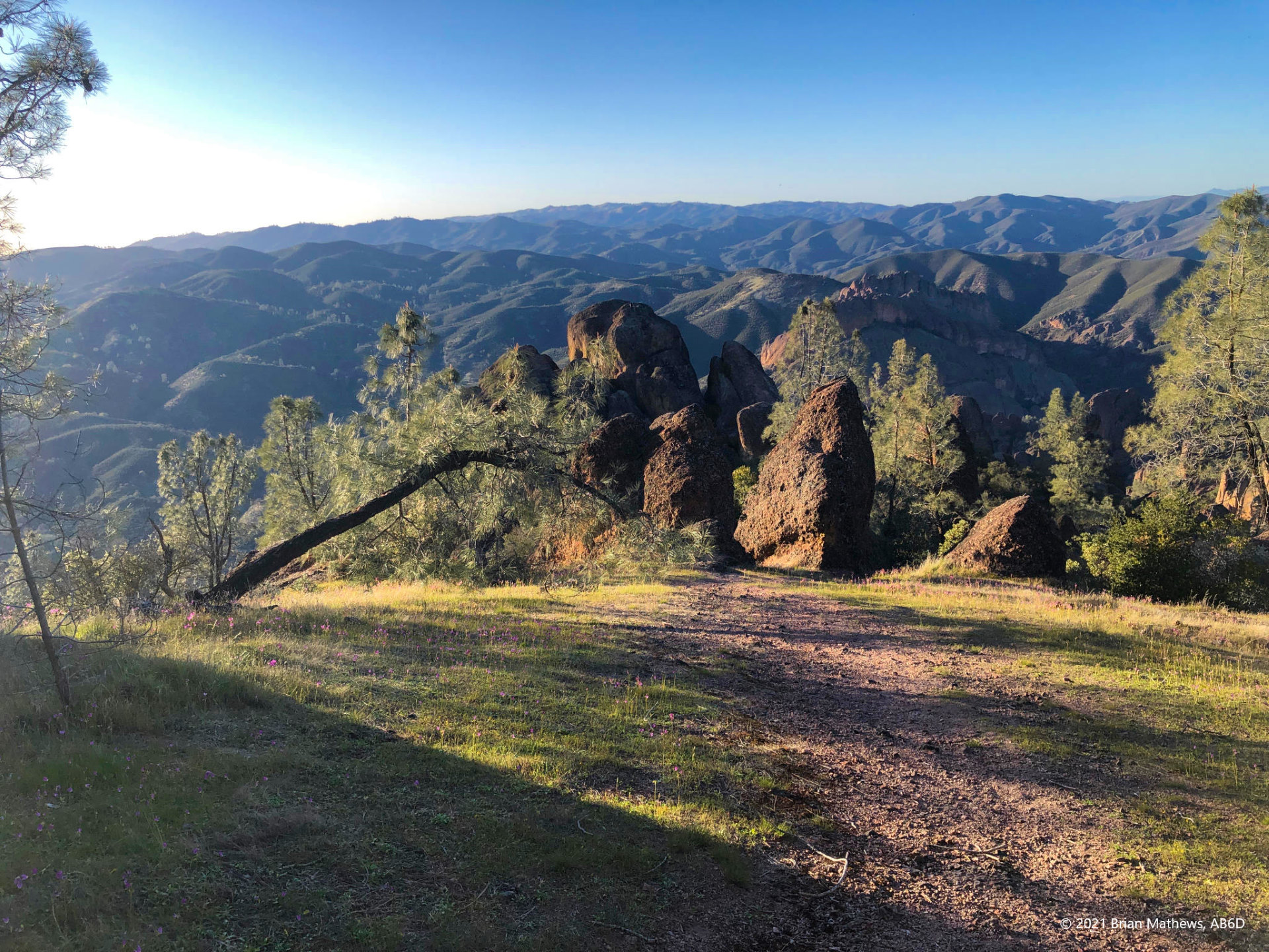
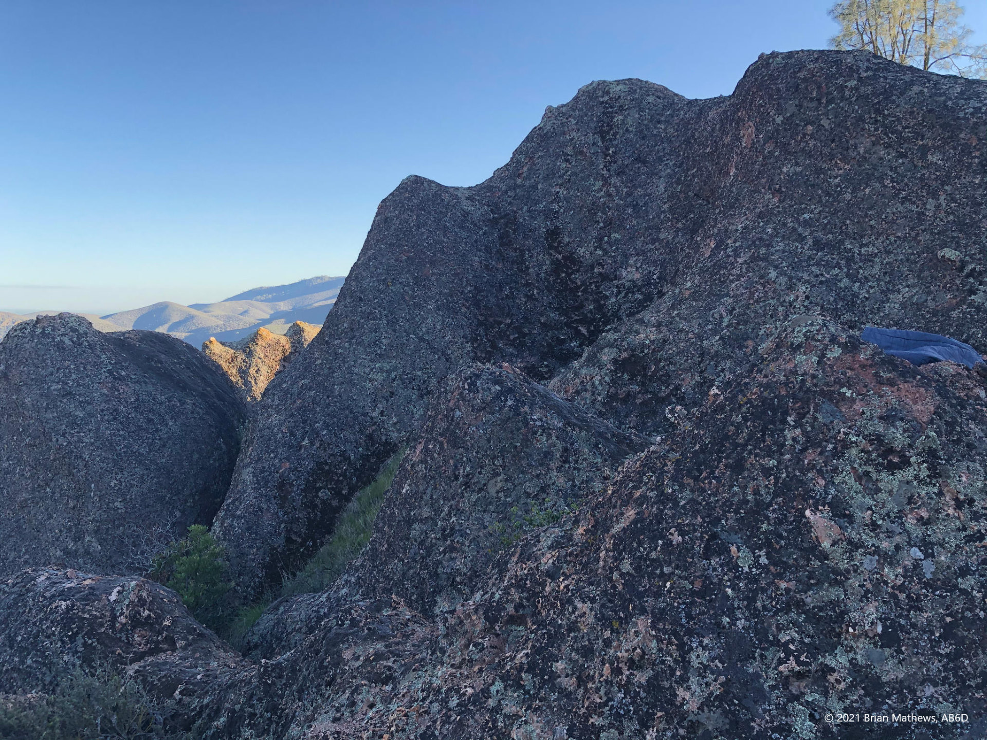
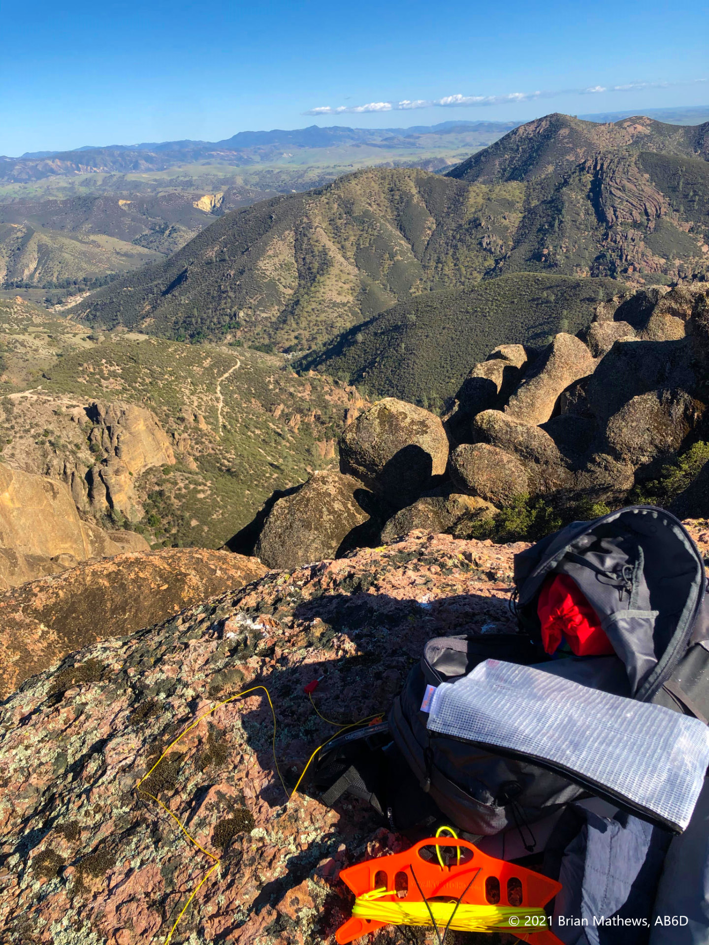
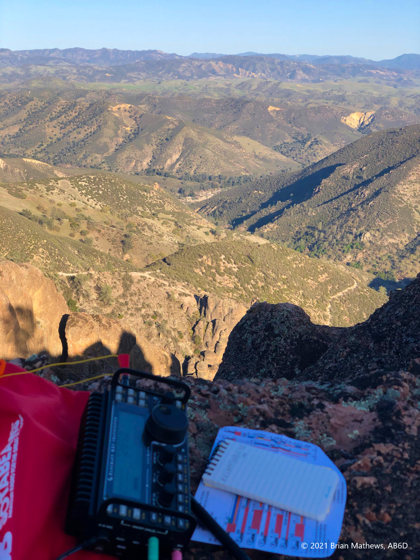
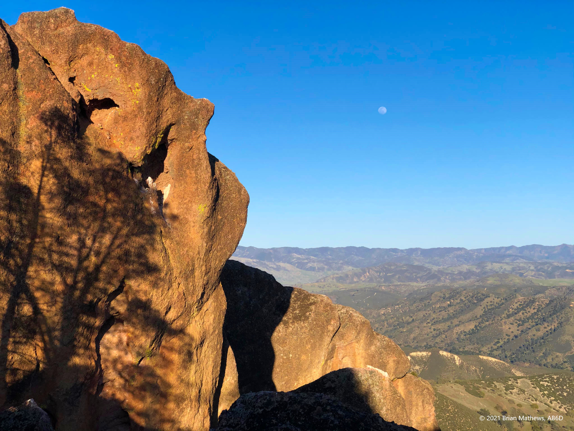
Once in position, I threw my random-wire antenna over a perfectly placed nearby tree, hung my counterpoise over the rocks, and set my Elecraft KX3 on the rocks right on a ledge with a steep drop off below. With the Sun at low angles the vistas were striking. It almost seemed a shame to do SOTA rather than just sit and look. There was very little wind and it was thus very quiet: I could sometimes hear voices from far away. I hung my legs over the ledge and started operating.
| Reported data below is: | Round-trip |
| Summit Name | Hawkins Peak |
| Summit ID | W6/SC-213 |
| AB6D’s activation date | 2021-03-27 |
| Region (ex. County) | Pinnacles National Park, San Benito County |
| SOTA Points | 2 |
| Prior activations at date of summit | 7 |
| QSO’s made by AB6D | 6 |
| Summit Elevation (ft) | 2,720 |
| Trailhead Elevation (ft) | 1,396 |
| Total Ascent on route used (ft) | 1,583 |
| Total Descent on route used (ft) | 1,576 |
| Round trip route (miles) | 3.71 |
| Enjoyment rating (10=best, see table) | 8 |
| Difficulty rating (10=hardest, see table) | 5 |
| RF Interference at peak | None |
| Fees | $30/week entrance fee |
| Spotting method used | T-Mobile Cellular Data (SOTA Goat). Cell service only available on summit, rating:2 (see table for rating info) |
| Activation zone antenna supports | A few trees available |
| Landholder | US Government |
| Restrictions | Activation zone may has seasonal restrictions due to nesting birds, especially certain approaches. Please note that there are some sensitive areas (wildflower beds, etc.) to avoid. |
| Trailhead (lat, long) | 36.49198, -121.20968 |
| Route | GaiaGPS |
| Moving Time | 1.8 hours up + 1 hour down = 2.8 hours round trip |
Please see this peak compared to others in my spreadsheet database.
Be First to Comment