Last updated on 2023-02-02
A letdown? Nope, just hidden.
2022 Update
This post is based on my original March 2021 activation when I was a SOTA newbie. I returned with my wife for a second activation in April 2022 as a more seasoned activator. 2022 was a 2-night, 3-day endeavor where we re-did Hawkins Peak on day 1, North and South Chalone on Day 2, and W6/SC-262 on day 3. Peak W6/SC-262 had only been activated by one other person: Jeff AA6XA (originally KB1KXL).
So you’ll see my 2022 updates mixed in color below…
2021 Post
This report is from the second day of my two-day trip to Pinnacles National Park. See the trip report for day one: Hawkins Peak. Day two involved hiking up and over the North Chalone Peak to reach the South Chalone Peak, and then reversing direction to activate North Chalone at the end of the day, before hiking back to camp. That’s a lot of up and down (up, down, up, down, up, down) for a beginner. Prior to this trip I had only activated one other peak (Sierra Morena W6/NC-209), which was almost a drive-up, so I wasn’t in great physical shape, but mentally the amazing sights and fun activations drove me forward on these (for me) long hikes. On research I discovered I was only the 3rd person to ever activate South Chalone peak after Jeff (original KB1KXL call sign changed to AA6XA) who climbed it three times in 3 years, and Oleh (KD7WPJ) who climbed it twice in 2 years. Now I don’t feel so bad that I was so sore afterwards!
After the prior day’s hike on the west side of the park (Hawkins Peak), I exited the park and took the long counter-clockwise southern drive to enter on the east side of the park. I stayed overnight in one of the nice and new-ish tent “cabins” in the Pinnacles Campground but didn’t get great sleep due to a group of raccoons who put on a circus under my cabin (see my Hawkins Peak post) and the below freezing temperatures didn’t help. While there are no bears, you do want to put your food in the bear boxes! I didn’t expect such a temperature swing considering the day before was shorts and T-shirt weather. Luckily I brought my backpack sleeping bag and my heavy car camping sleeping bag: after getting too cold I got up and put the backpack bag inside the car-camping bag for a toasty result.
The east side of the park has a general store with for-a-fee slow WiFi (there is no cell service until you are on a peak), showers (nicely renovated in 2022!), a pool, a large campground, and an electric vehicle charging station (but getting an account to pay for it is a pain without cell service). 2022 Update: I could not get the charger to work at all without getting a code from the camp store, so if you arrive outside business hours I would not depend on this service being available! I got up before sunrise, ate some breakfast, and went to the showers near the general store. The showers were covered in ice and it seemed to take forever before warm water arrived at the showerhead (fixed in 2022!). Brrr. Bring plenty of quarters (they were not needed in 2022!). I would be a much better SOTA person if I didn’t need my morning shower so badly — I need a shower more than you need your coffee and that is quite limiting for a SOTA person.
What to know about Pinnacles NP
Make sure you read my section on “things to know” for the park on my Hawkins Peak posting. While the Hawkins trailhead is arrived at from the west entrance of the park, the Chalone peaks trailhead is on the East side of the park. There is no road inside the park connecting the west and east sides.
While parking can be an issue anywhere in Pinnacles, it is especially a problem on the east side where most of the campgrounds and people are located. There are 4 main spots to park for the Chalone approach with increasing distance from the trailhead:
- The High Peaks Trailhead parking lot (36.47852, -121.18378) with a restroom
- The Bear Gulch Day Use Area parking lot (36.48112, -121.18134) with a better restroom and a water filling station!
- An unnamed parking lot on Chalone Creek Road just ahead of the intersection with Pinnacles Road (36.48555, -121.16708), no restroom
- The Peaks View parking lot (36.48254, -121.16184), no restroom
I arrived early and found parking lots #1 and #2 were already full, in the off-season! I ended up parking in lot #3 which has a nice flat hike along the “Bear Gulch Trail” which takes you to lot #2 and #1. Make sure you top-off your water at lot #2 since you’ve got a long hike ahead of you. At the end of the day returning to lot #3, that extra mile or so hurt more than it should (I was a beginner!).
Update for 2022: we got up and out extra early and got a space in lot #1. Yeah!
Once you get to the High Peaks Trailhead parking lot, you have several possible paths of various grades. I took what I think is the easier route:
- High Peaks trail for 0.1 miles
- Go left onto Moses Spring Trail for 0.17 miles
- You have options to stay on Moses Spring Trail or the Bear Gulch Cave Trail for about 0.33 miles. There is one place where I ended up on the wrong trail for a few feet but the GaiaGPS cleared things up.
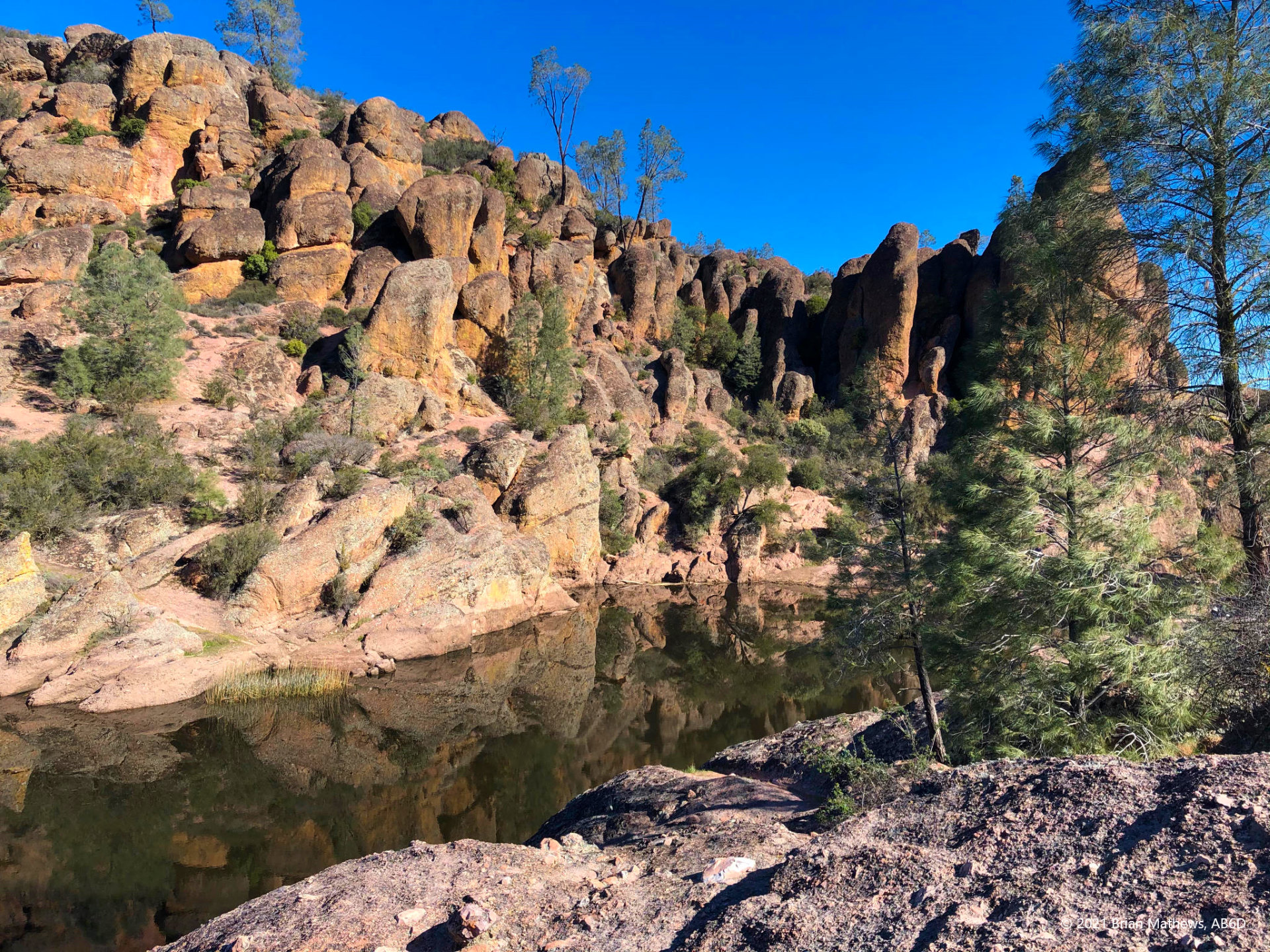
- The caves here are fun to hike through, however, there was one section that was not well marked (I later found a destroyed sign that would have helped!) and I ended up having to back-track a bit. The return route through the caves is much clearer (when you are tired, that is welcome!). It is a shame I don’t have better cave pictures. Lot’s of people come for the caves.
- Eventually you’ll climb some stairs and end up at the Bear Gulch Reservoir. Most tourists only make it this far and spend the day hanging out around the water.
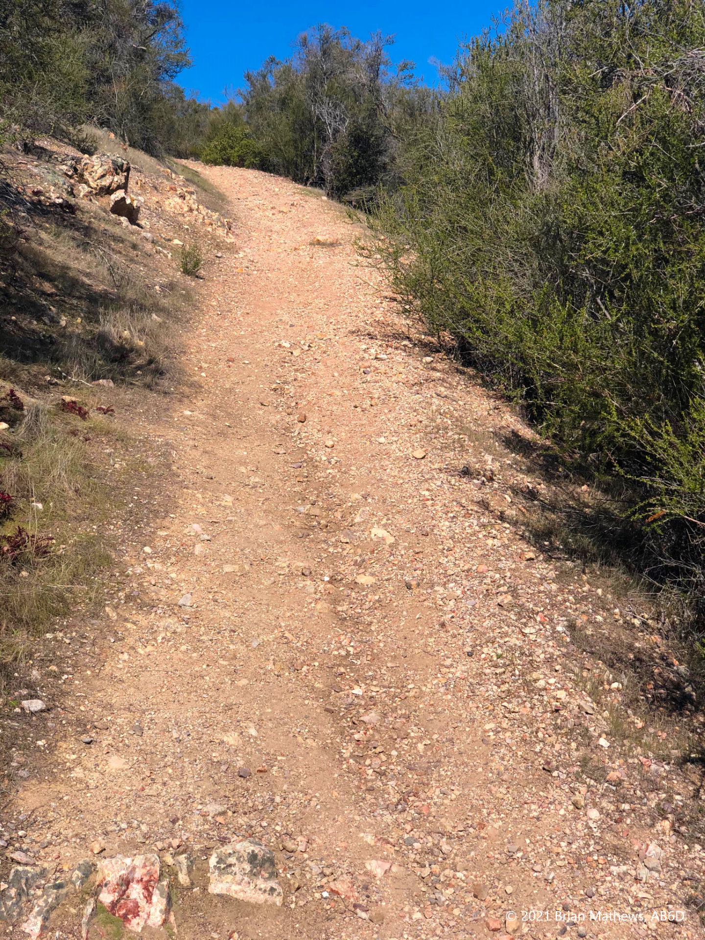
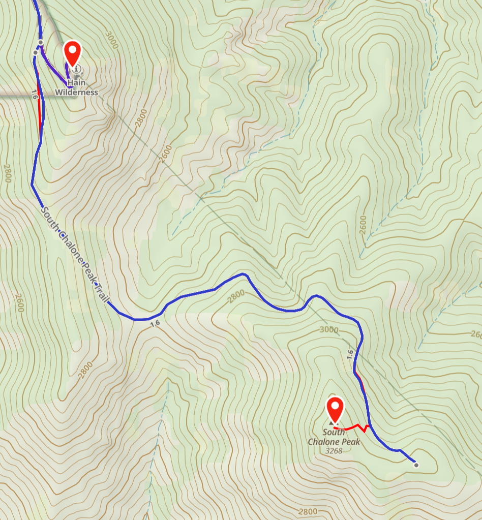
- From here you take the Chalone Peak Trail the rest of the way to the peak for about 4.6 miles. For most of the hike it is clear what to do (when in doubt, go up).
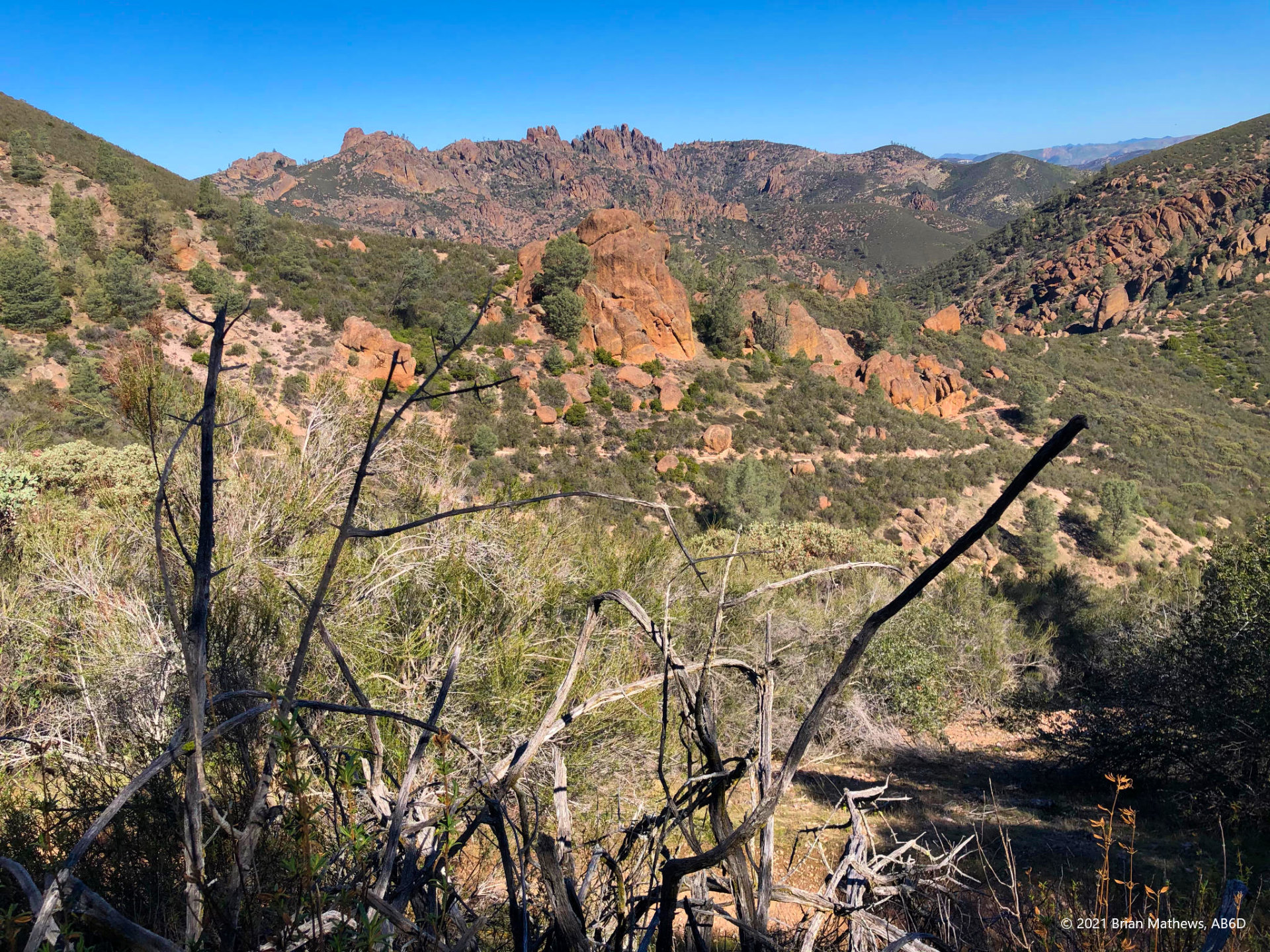
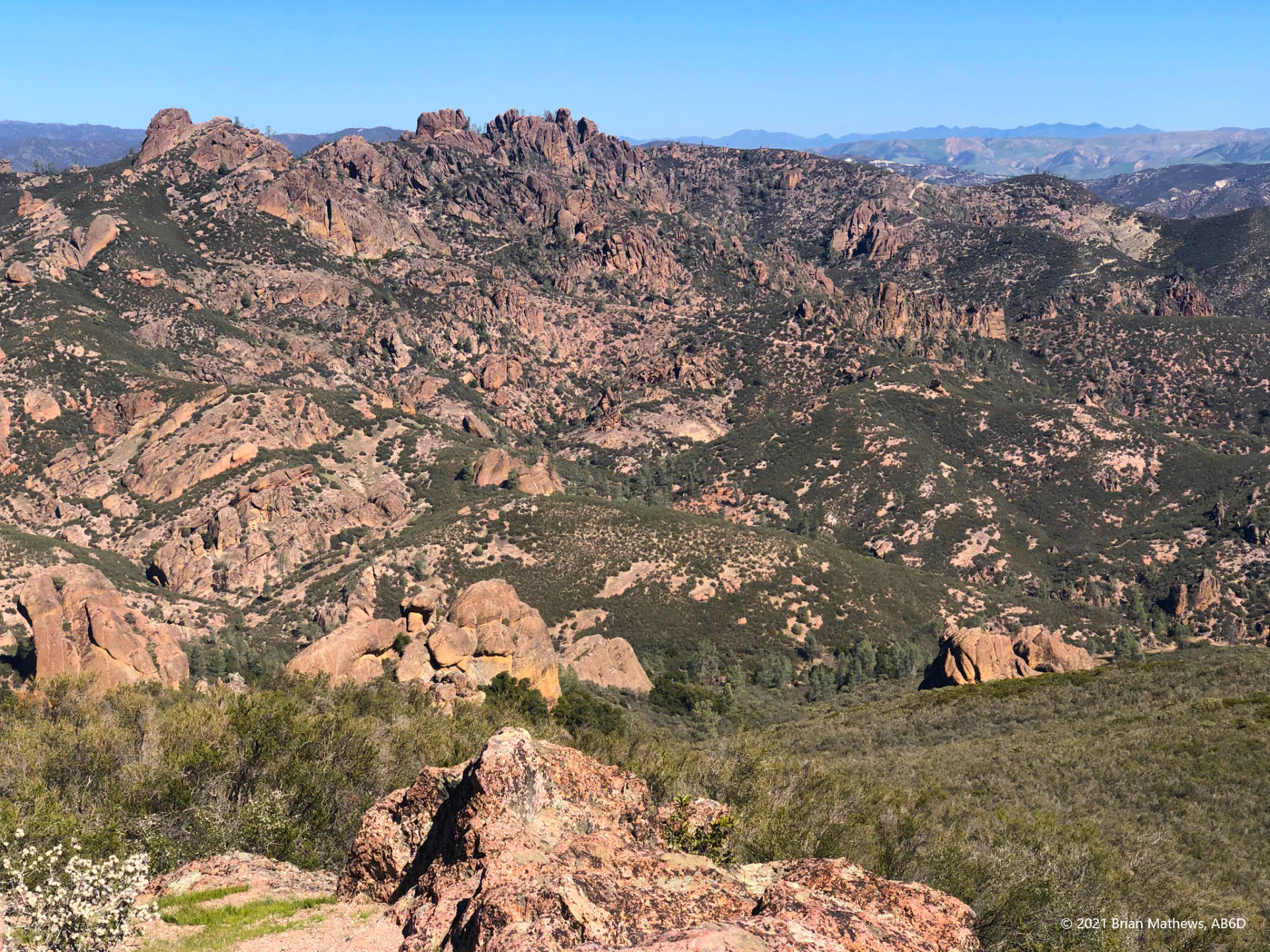
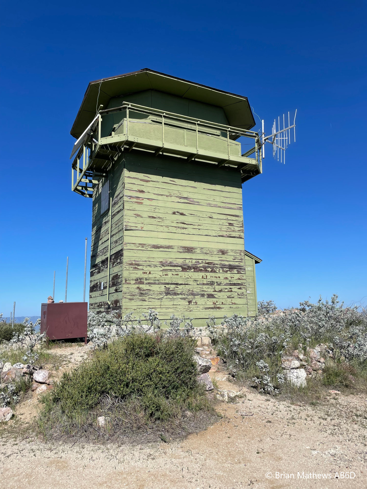
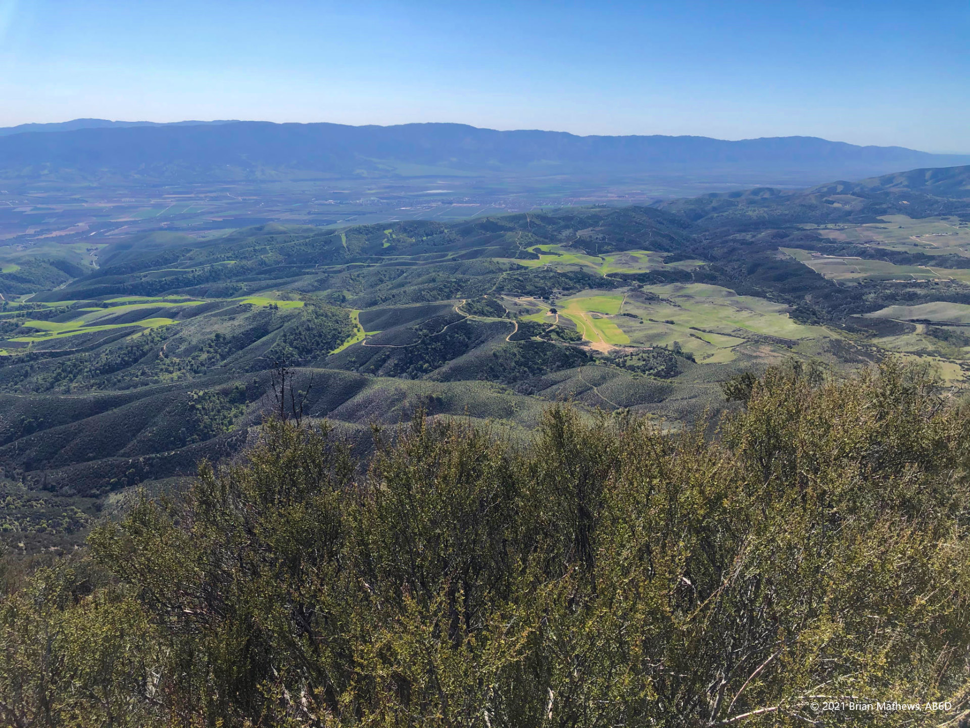
- After some hiking you’ll see the North Chalone Peak Observation Tower in the distance. Yes: you’ll get there. Eventually you’ll come to a fence that you need to cross and you’ll end up on a dirt road to the North Chalone Peak.
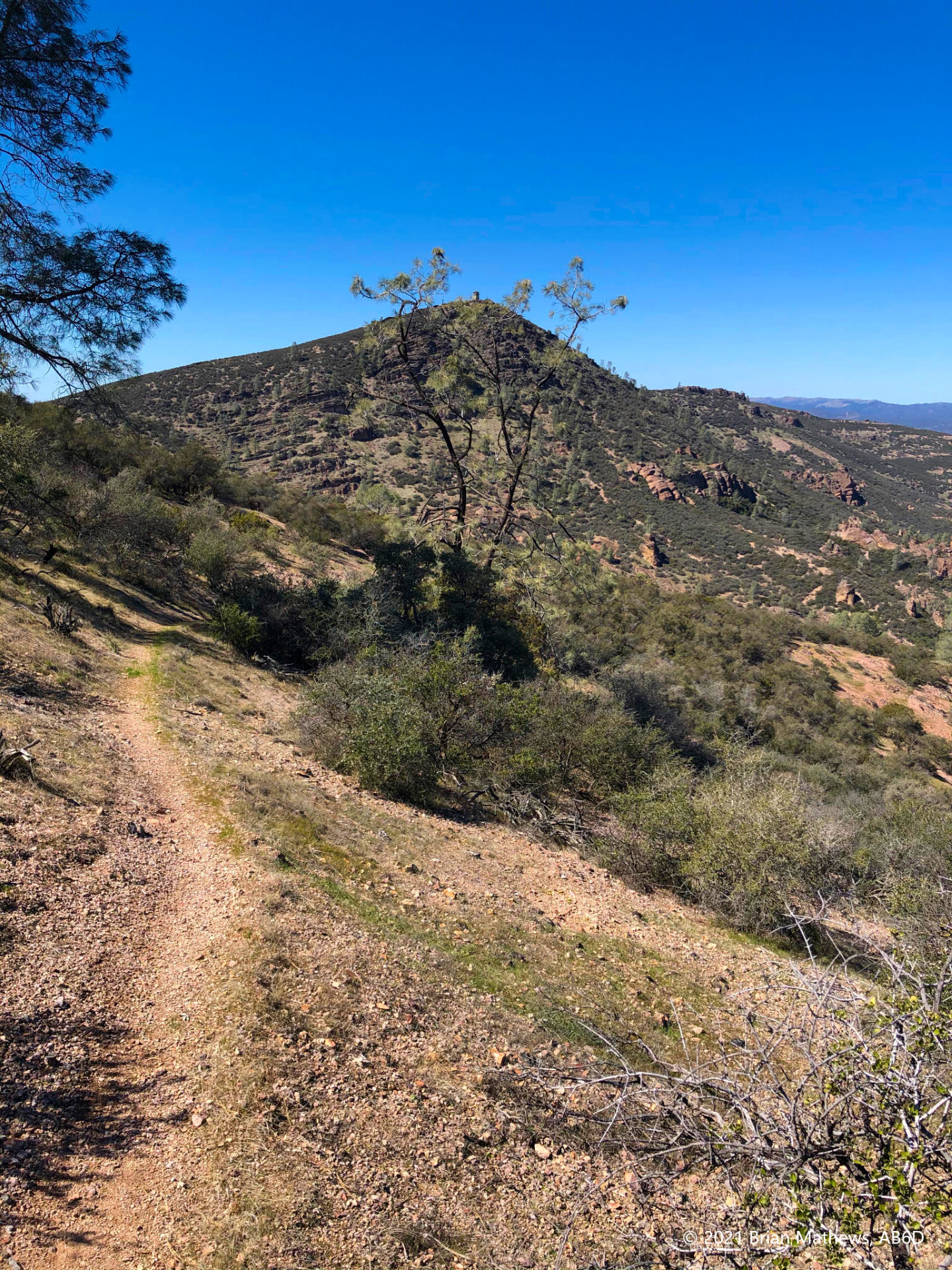
- As you are approaching the top of North Chalone Peak on the dirt road, there is a very poorly marked trail (overgrown in the spring when I visited) on the right side. I missed it and had to go back. Thankfully I had my GaiaGPS maps downloaded to my phone and could see where I needed to be. That unnamed trail takes you to the South Chalone Peak
Having pre-downloaded maps on my phone with GaiaGPS was helpful, but remember that electronics regularly fail when in the back country: dead batteries, grit, water, drops on rocks, etc. Use “airplane mode” to prevent the cell phone from using maximum power all day long trying to stay connected to a distant cell tower. The Pinnacles trails are well maintained so it is more of a matter of missing a turn-off, and not as much of an issue of getting “lost”.
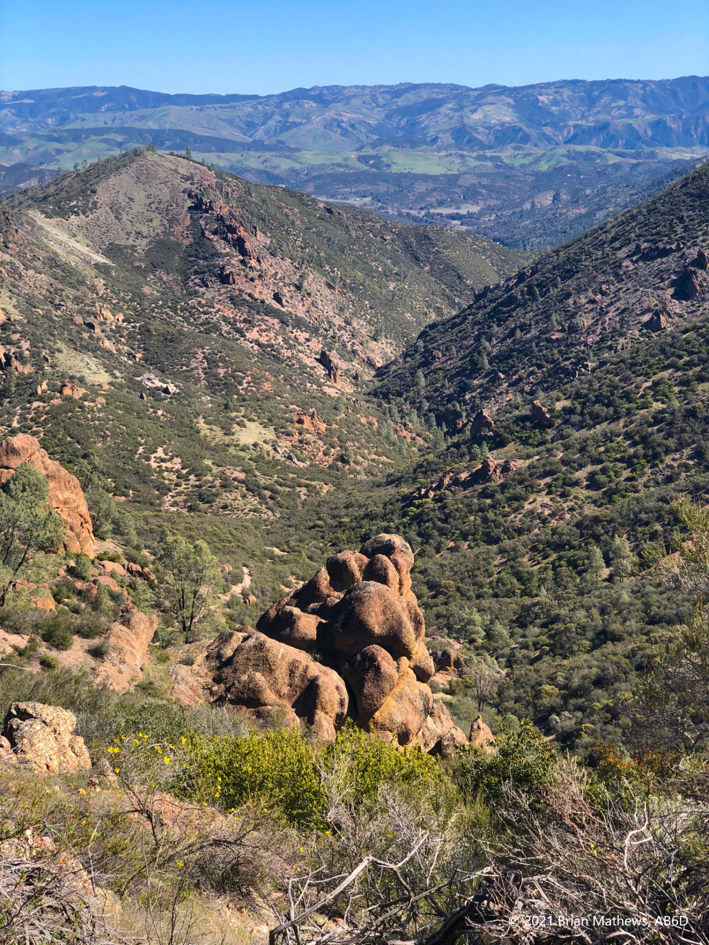
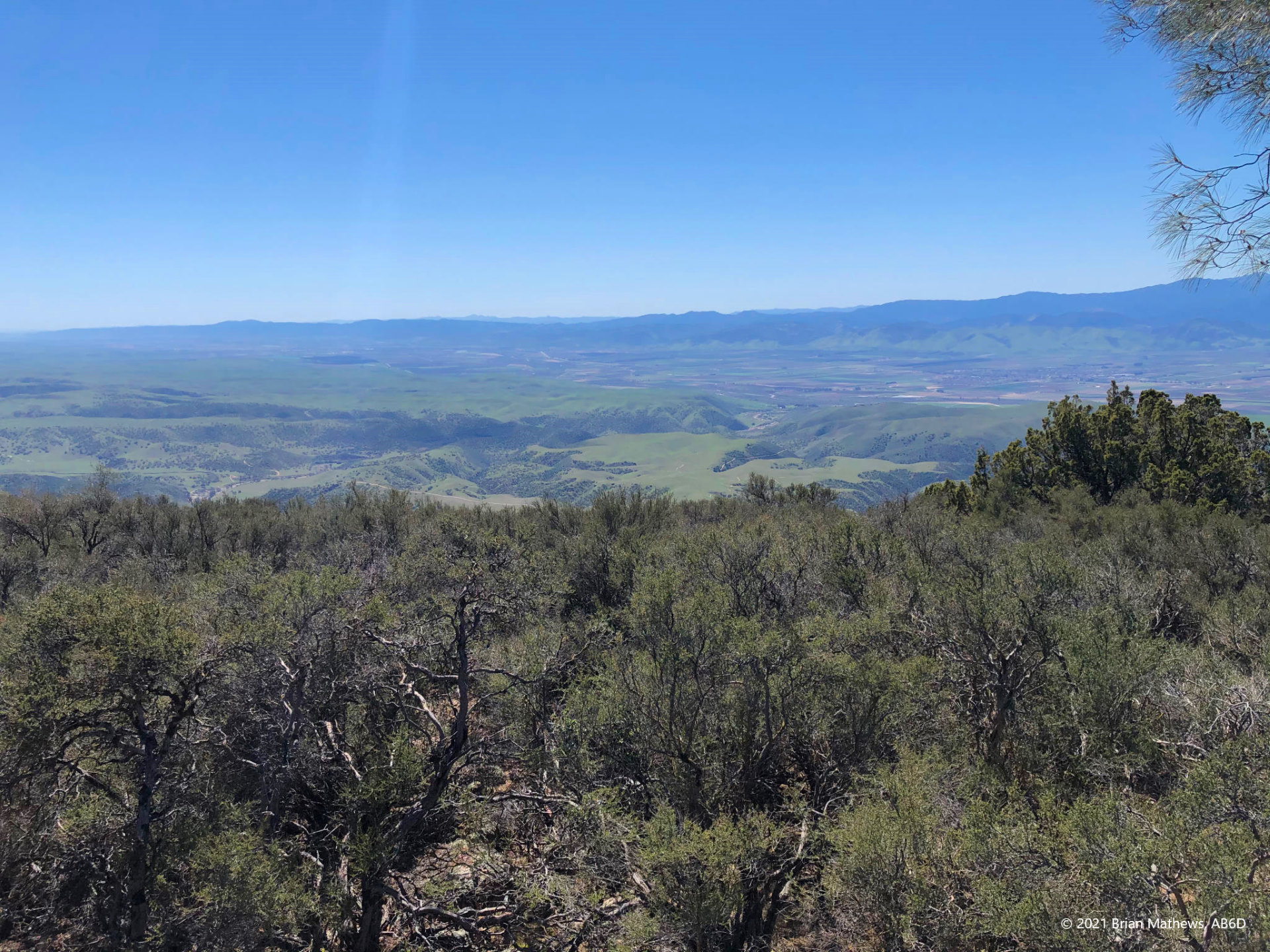
If few of the tourists go beyond the reservoir, far fewer go past the observation tower at North Chalone Peak.
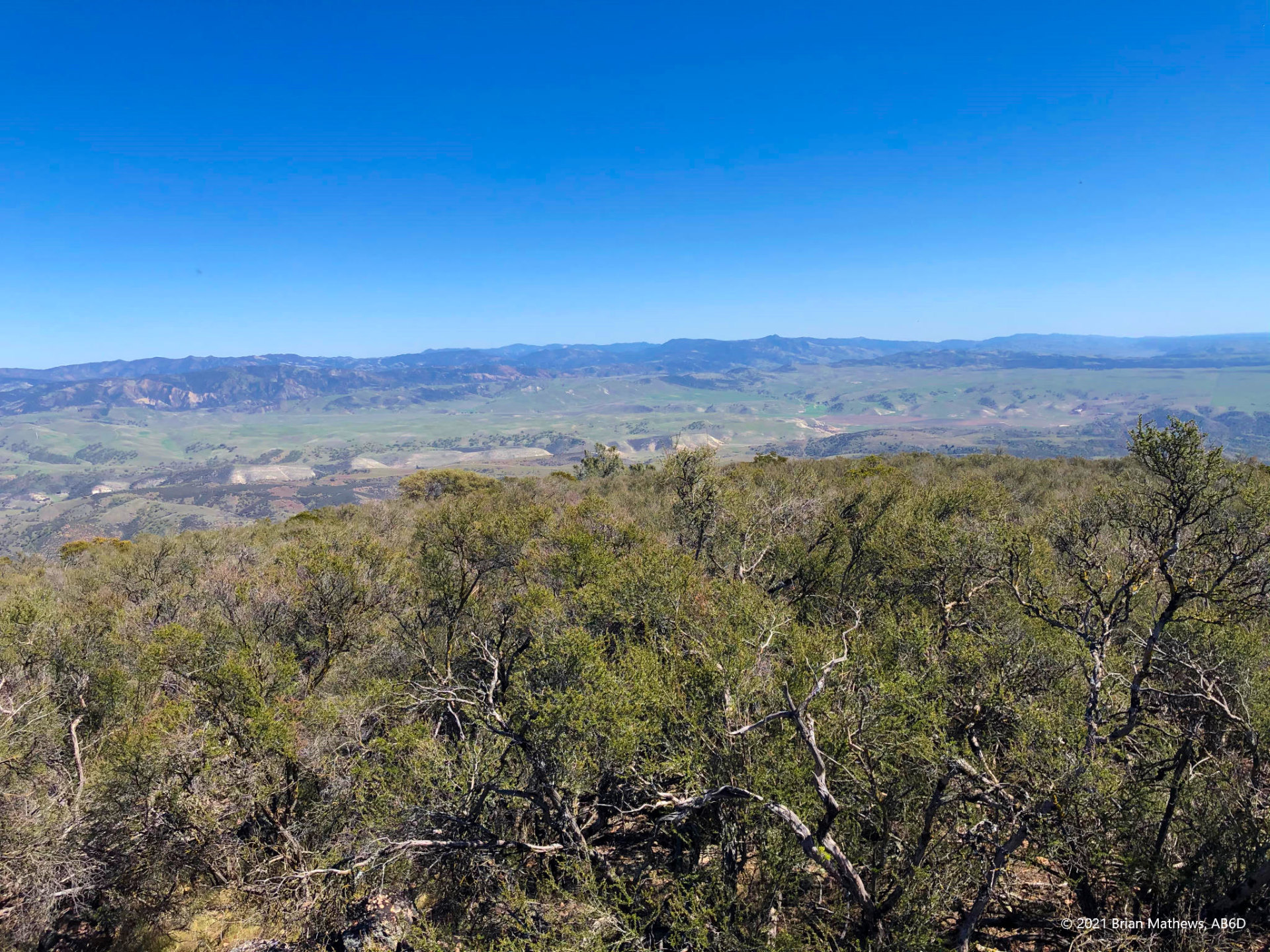
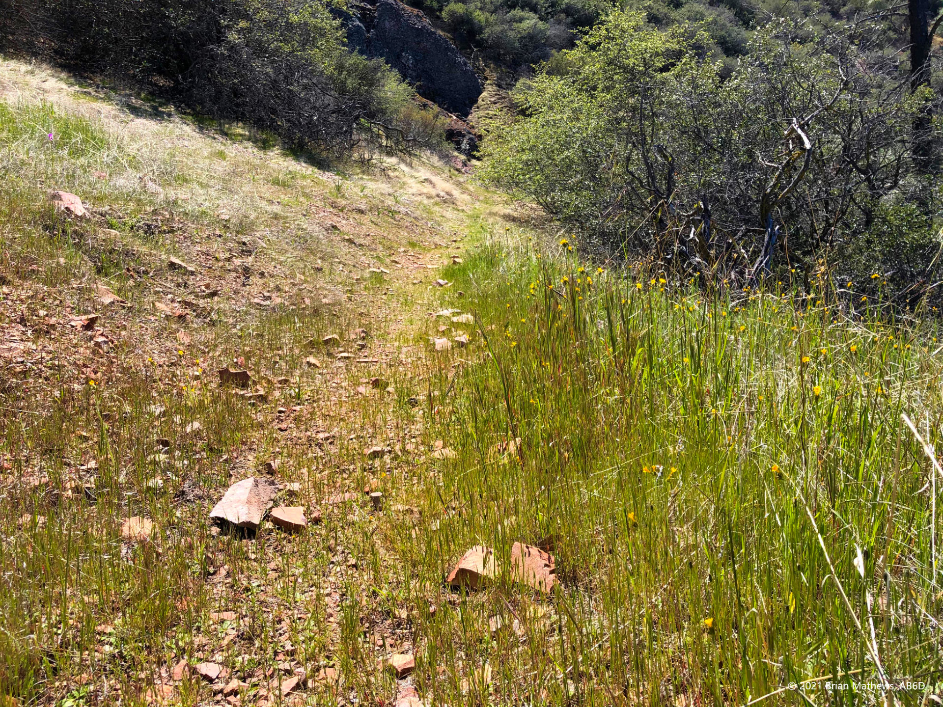
- After you make the trail turn-off to head for South Chalone, you give up a lot of the elevation you previously worked so hard to gain. It is nice going downhill and the views change. The trail becomes narrow and less traveled. In fact, in the spring I saw new grass growing up from the trail completely not trampled. You did spray with tick repellent, right?
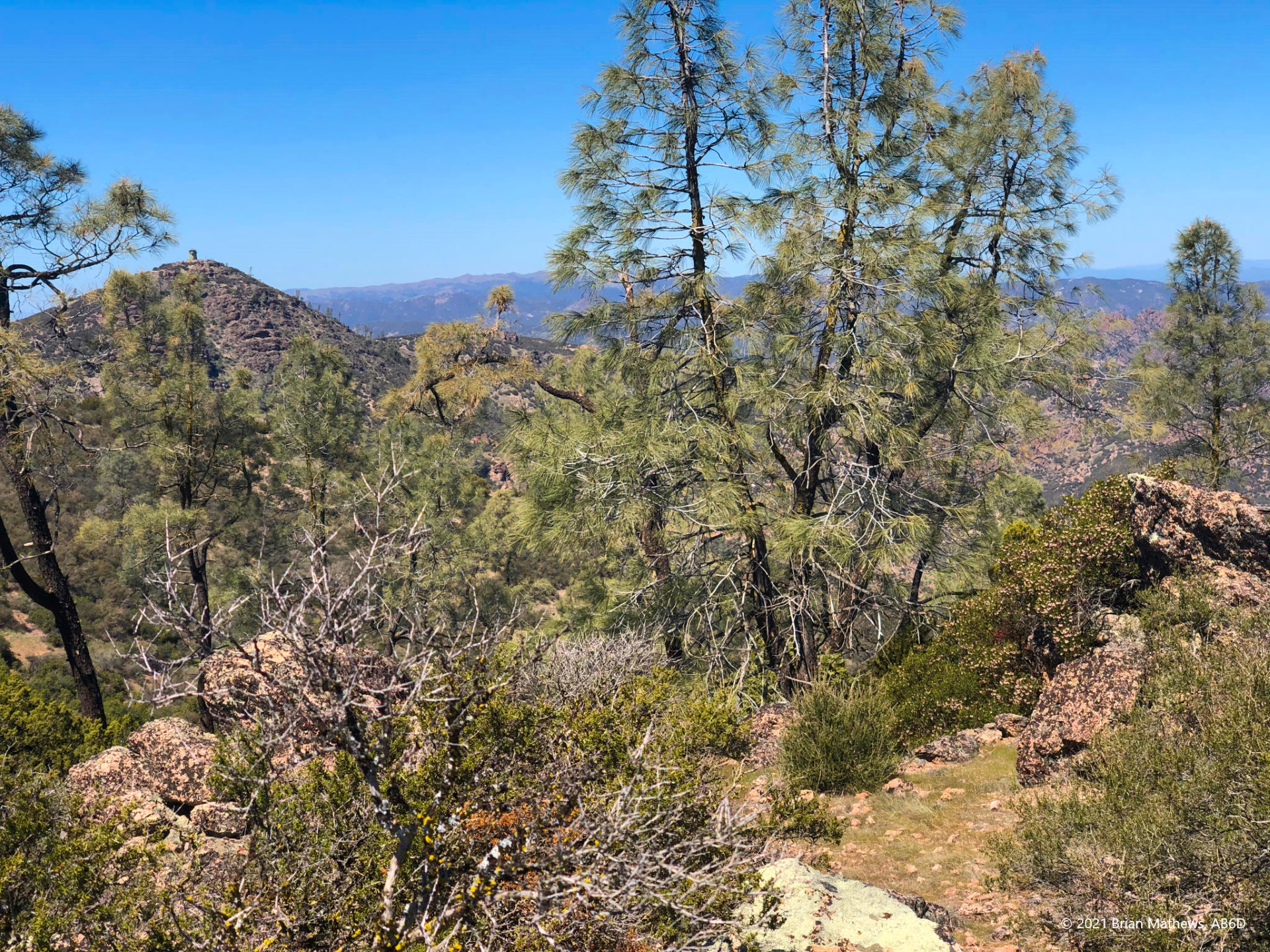
- Just follow the trail to the end. This is where you’ll get a complete let down: the trail ends abruptly (inside the activation zone) where there is nothing interesting to see with bushes and trees surrounding you killing all views. Note that the “true” peak requires branching off and bushwhacking quite a ways. See Jeff AA6XA’s report on how to get there if you want to get to the true peak. Since the activation zone is large at the top, and since the trail ends inside the AZ, I didn’t see much of a reason to do all the bushwhacking and ecosystem damage. HOWEVER…
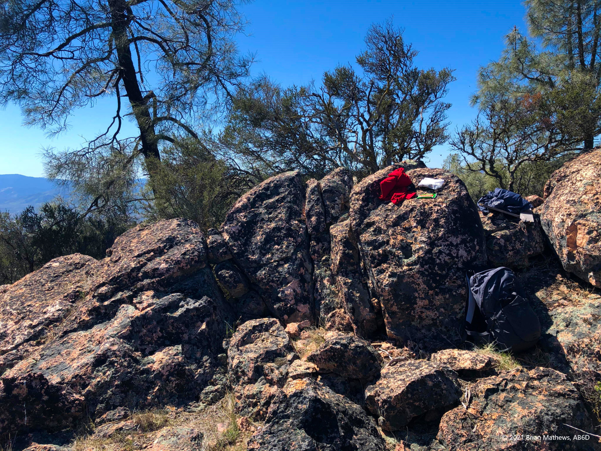
- There is a secret to activating this peak! In the satellite diagram note the blue trail and the red bushwhack to the actual peak. The blue circle is the end of the blue trail and is boring. But if you bushwhack about 15 feet towards the purple arrow, you will find a rocky area elevated with an amazing view and great places to operate from! Why the trail doesn’t terminate on these rocks is beyond me. In fact, I saw that the NPS carried a bunch of fence making gear to the top and likely has plans to block off the area in future years. That would be a shame.
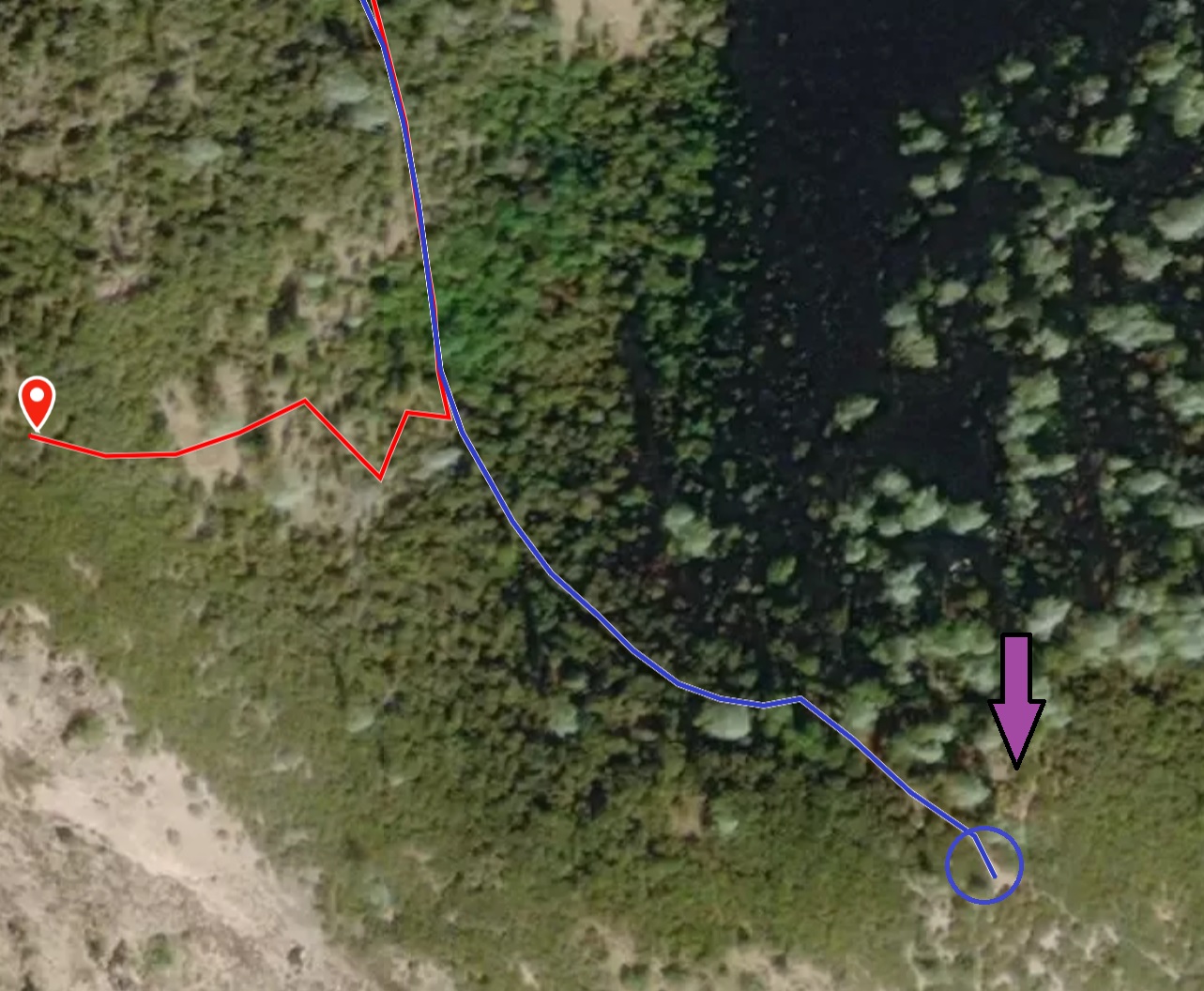
You can see that the end of the trail and the secret rock bed are well within the Activation Zone, vs. Jeff’s bushwhack approach in red to the actual peak:
Be First to Comment