Last updated on 2022-04-12
My First Never-Activated Activation
This was my family’s second day of a Thanksgiving holiday car trip. Looking at the route on SOTL.AS I saw several never-activated peaks near the highway. Studying a number of these in Gaia GPS I found they were either on private property, or had no trail to the peak. About to give up I happened upon Sloan Mountain which was on BLM public land, easy access from the freeway, and had a trail. Hmm. Game on.
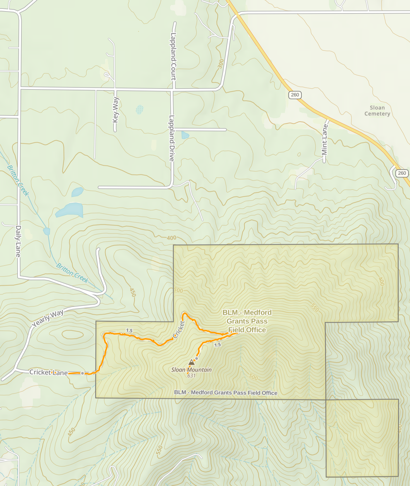
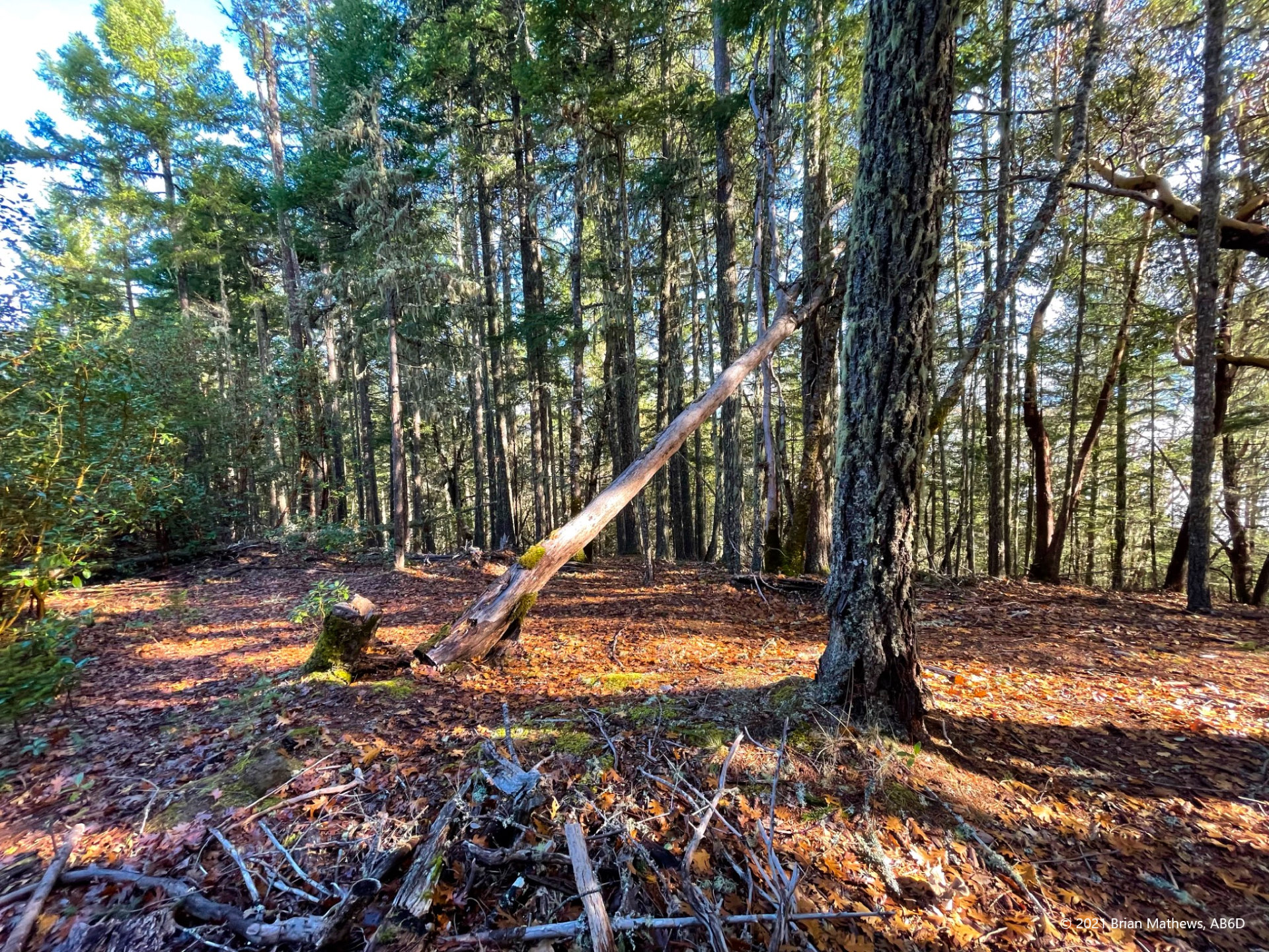
This peak is very doable. It is only a 1 mile hike up from the trailhead with a reasonable grade. The peak is in a forest and thus has no vistas, but it does have a nice area to activate from where there is a small clearing. So why no activations?
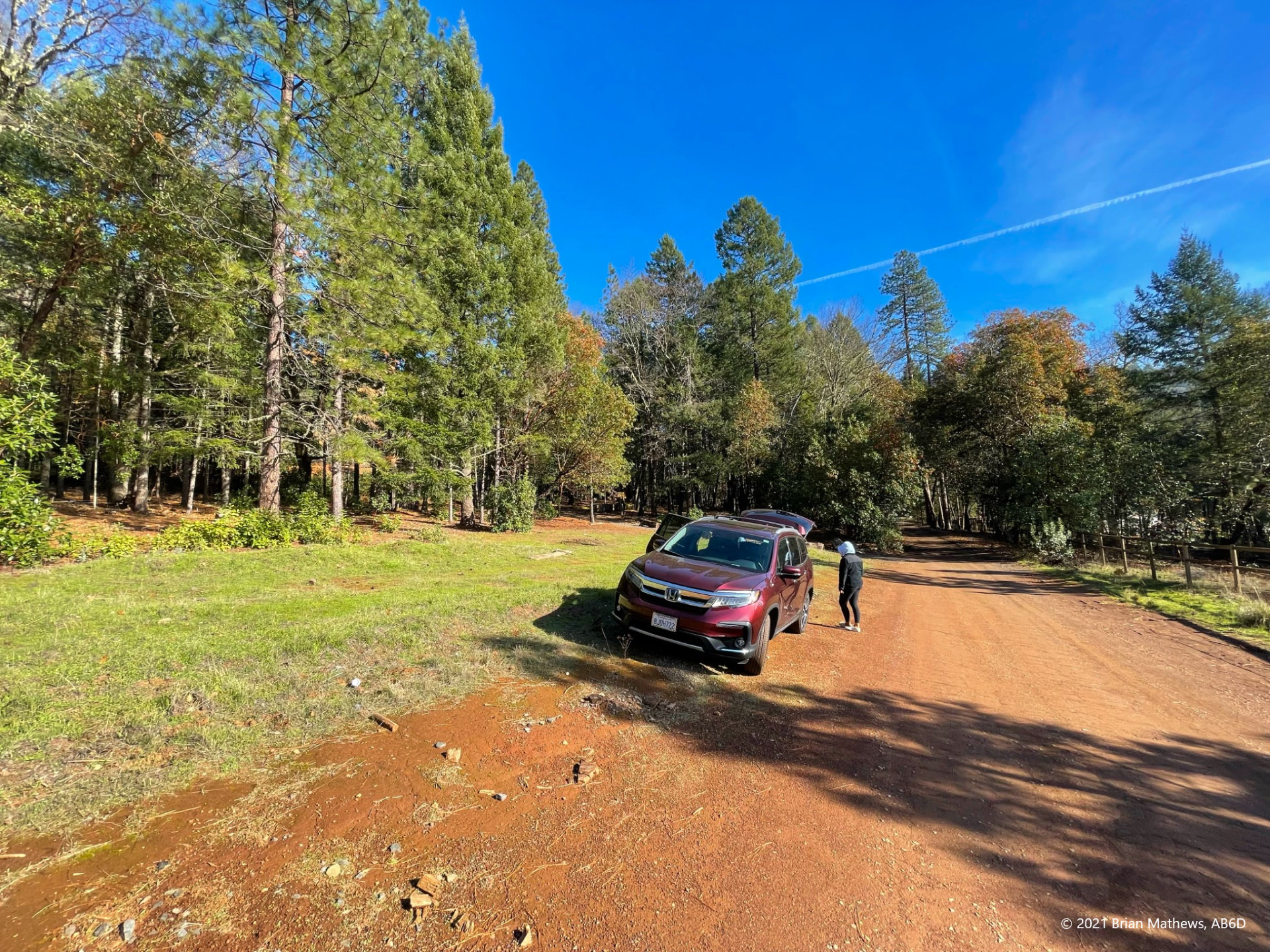
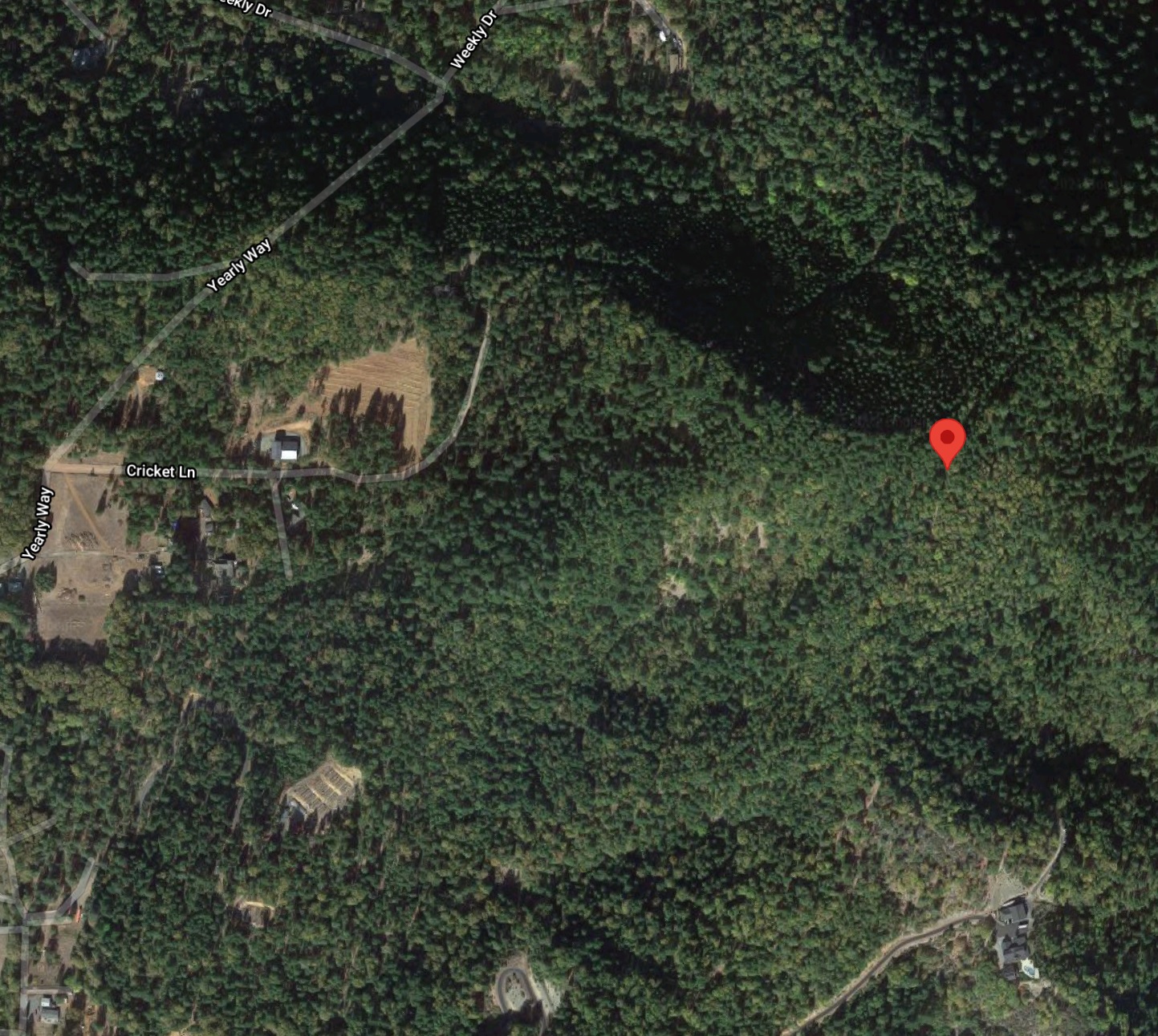
We approached assuming there was going to be a problem such as a gate or a no trespassing sign (even though the maps show it as public land), etc. We followed the route which went from paved roads to a well maintained county-owned dirt road lined with a few country homes here-and-there. When we were almost at the spot on the Gaia GPS map where the dirt road changed classification to a trail, a clearing emerged. We decided to park there.
Note: Click on images to see full-size, use arrows to sequence
The clearing is surrounded by at least three properties and includes several structures and fences. The first odd thing we noticed was that one of the properties had these signs posted on it:
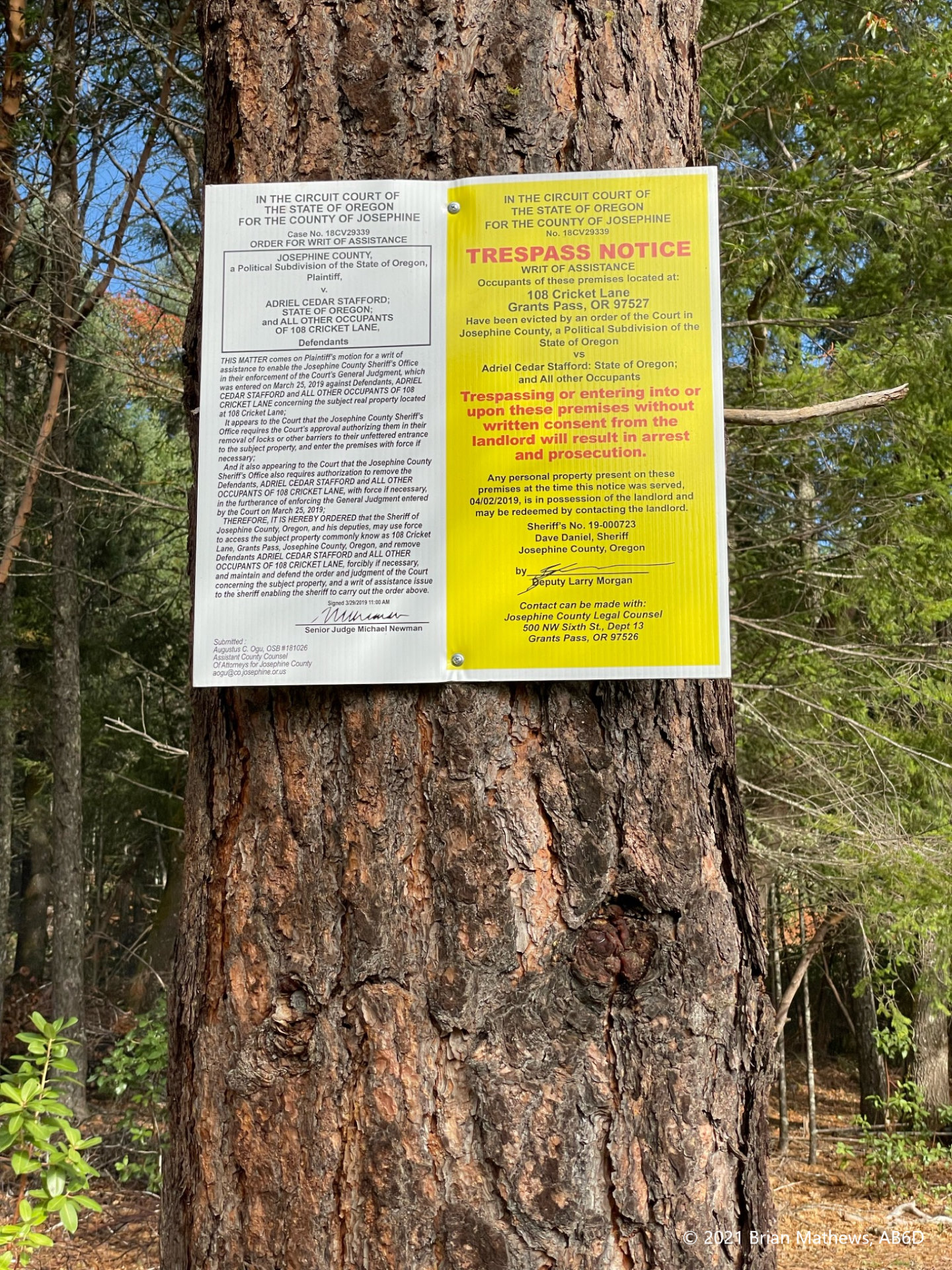
Hmm. Someone was in trouble with the law. As we continued up the road on foot we came across a new and odd structure. It was a building with no windows, but had an array of air conditioning condenser units (at least 11 of them!) and a brand new electrical transformer. Clearly there was a recent investment in this structure. But what’s it for? And why does it need so much (expensive) HVAC equipment?
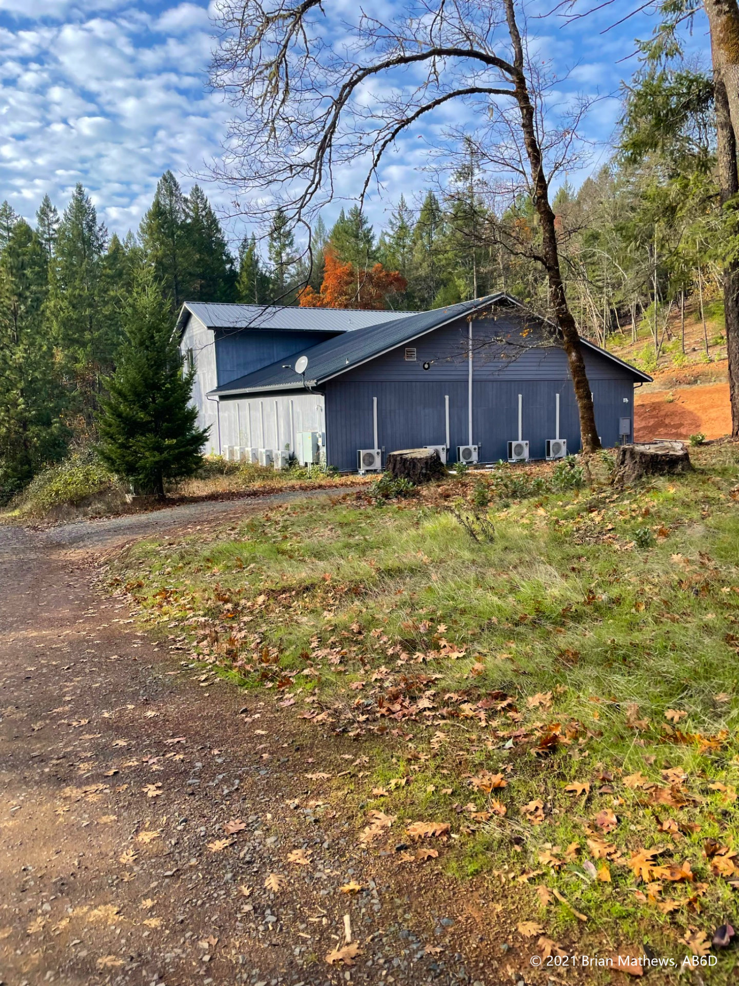
As you continue on the road/trail past the HVAC-heavy new building you’ll see an associated older small-house/cabin where most (all?) of the windows are covered with opaque paper (or is it cardboard?). That’s odd, why block the windows? It reminds me of vampires or drug lords. Across the street is another property with small kids running around an outdoor jungle gym, So one side of the road looks normal and the other side looks odd.
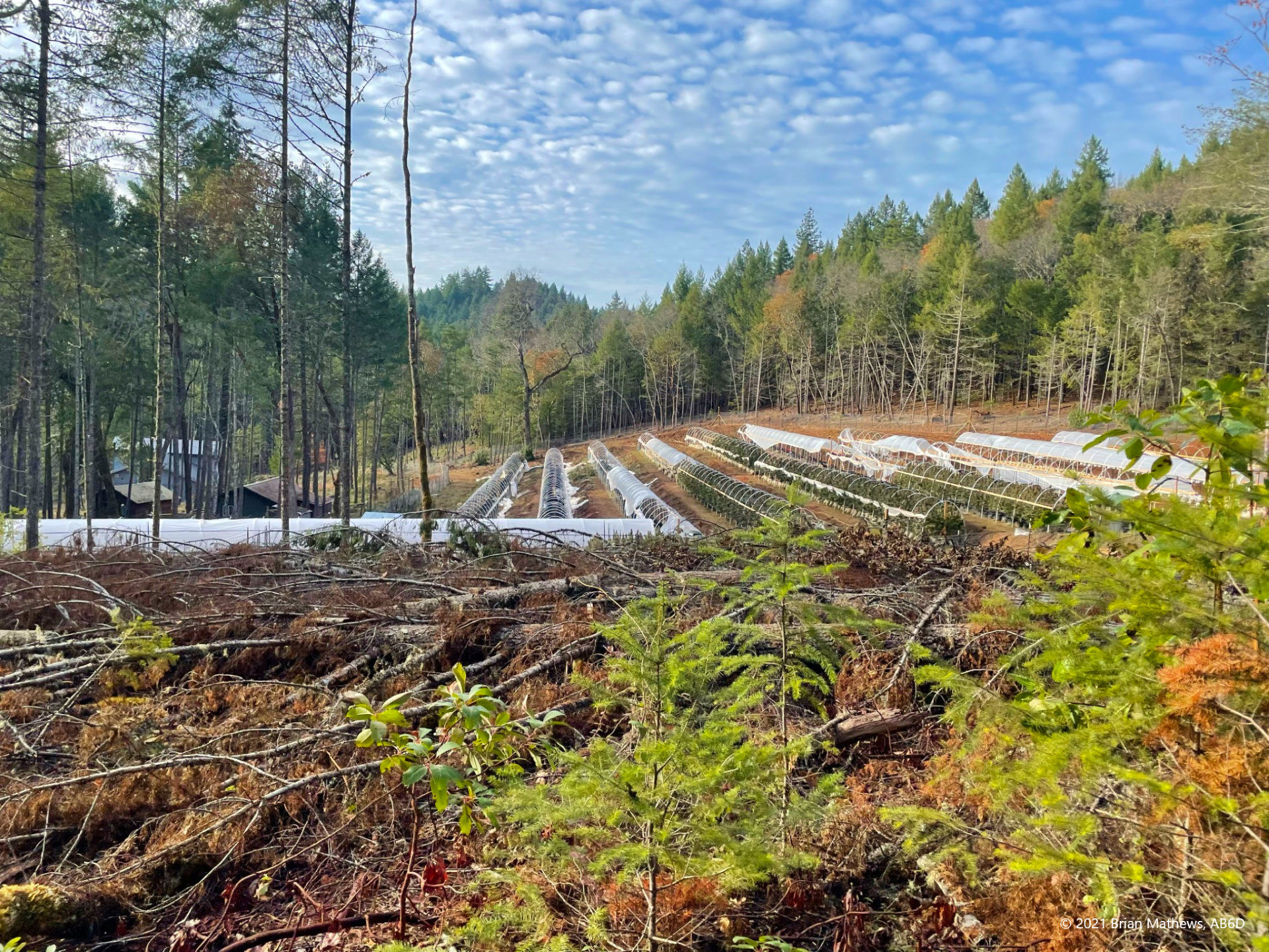
As you continue you see there is a fenced farming operation of some sort, except my son notices there are cameras everywhere, and all the cameras are looking inward towards the farming operation. Given all the cameras I suppose this is a legal marijuana farming operation, but from this distance I can’t tell and don’t care. I’m here for SOTA.
While a (nicely fenced) dog barks at us, nobody comes out as we walk by the home on our way up the mountain. At about this point where the road turns to trail, we are transitioning onto BLM (USA Bureau of Land Management) land from the county owned dirt road (according to the Gaia GPS maps). We see no gate and no signs, just the trail.
The initial hike is very pleasant: a gentle grade that is easy but just steep enough that experienced hikers can get their heart rates up if they move fast.
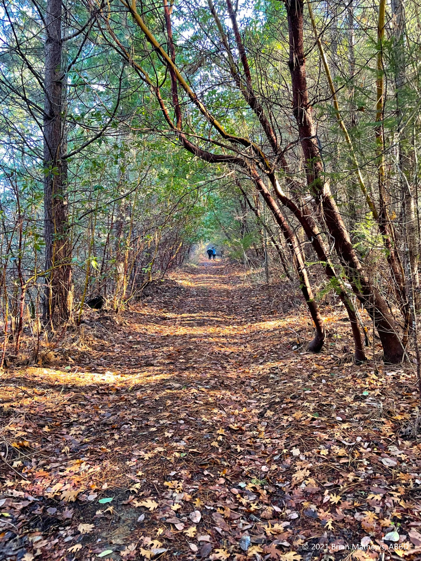
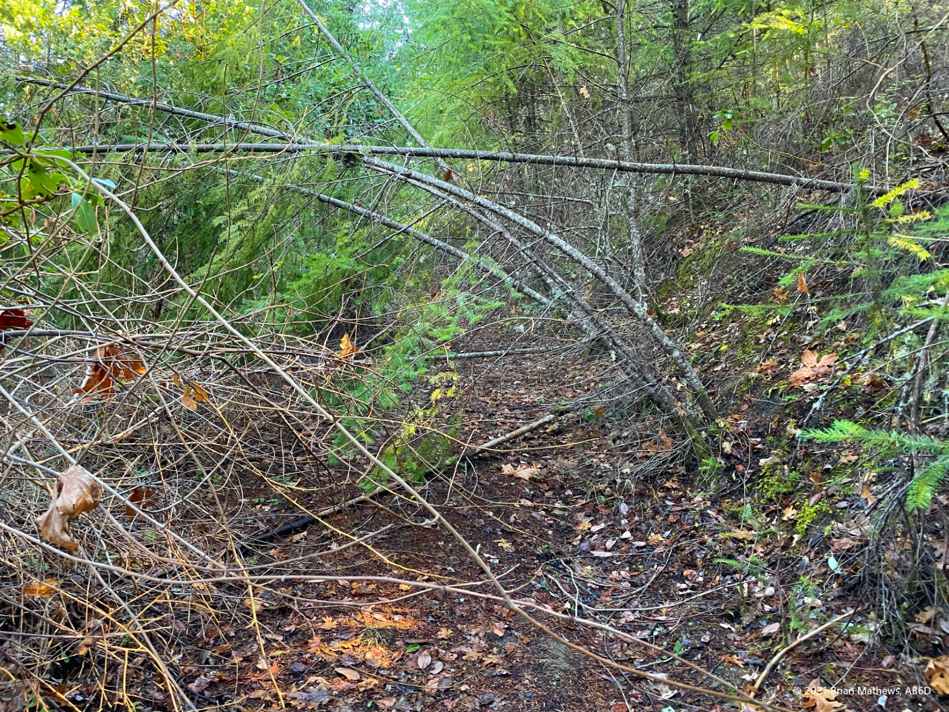
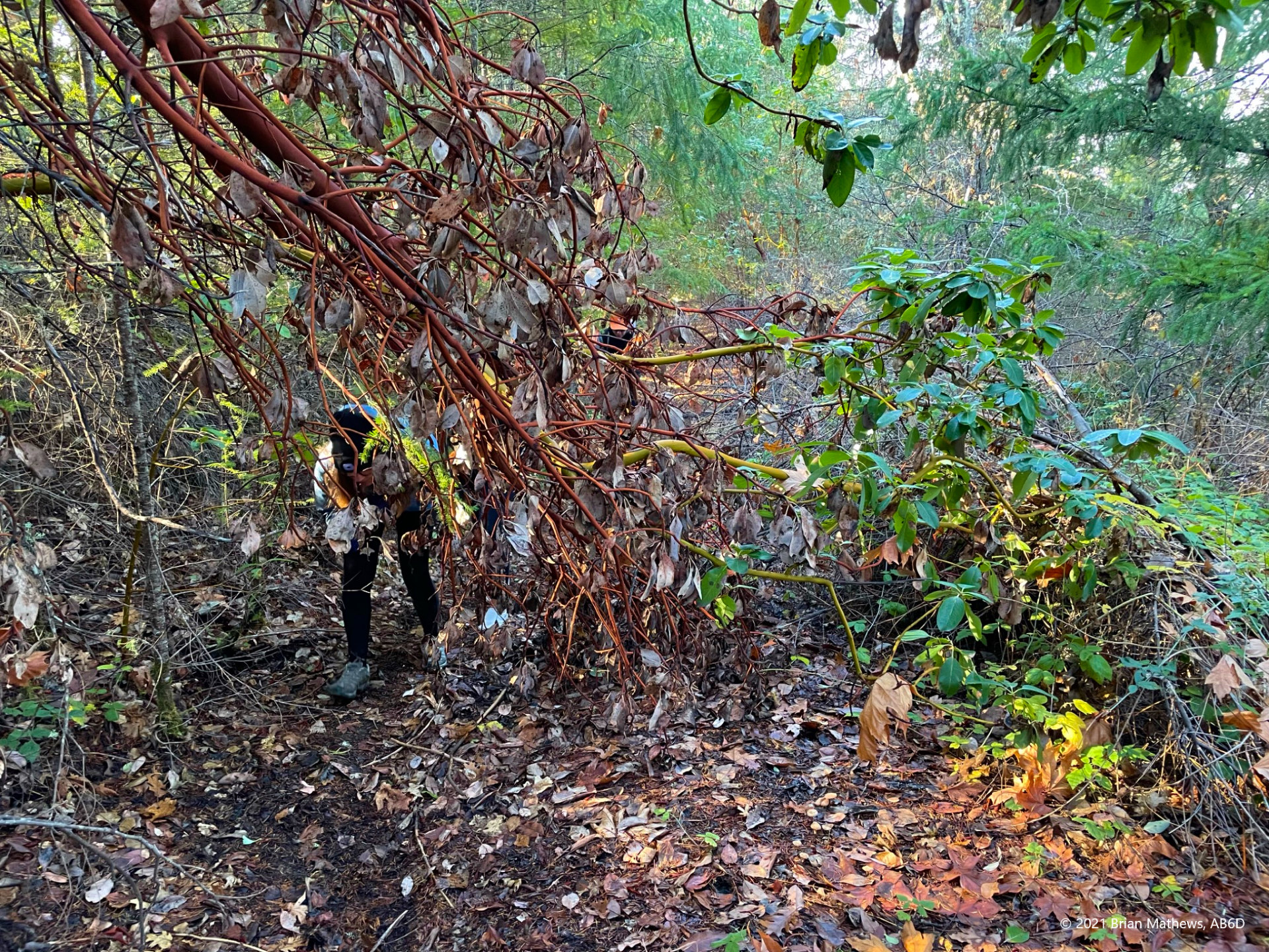
The trail looks like it was well graded and maintained, until it wasn’t. At this point the road is starting to lose the battle with nature as whatever attention it had in the past it isn’t getting now. For most of the hike the road is still in great shape and makes for a pleasant hike, but in several patches there are a number of fallen bushes and trees blocking the path. It’s no big deal to go around them, but unless this road gets some attention, I wonder how easy it will be in a decade. There are patches of pricker bushes and poison oak starting to reclaim the space which will make the trip more difficult in years to come.
At about this time we heard what sounds like a gun shooting range in the distance. My kids got spooked, but it’s pretty common in the countryside. After someone shot a bunch of rounds it ended.
We continued to hike and then navigate around 5 or 6 of these fallen tree blockades.
One thing I haven’t mentioned is that there was a lot of fog around these mountains in the days we were in the region, and this hike was no exception. While we had sun where we parked, we quickly were hiking in the fog for half of the trip, and even more exciting was hiking above the fog and looking down on it through the trees.
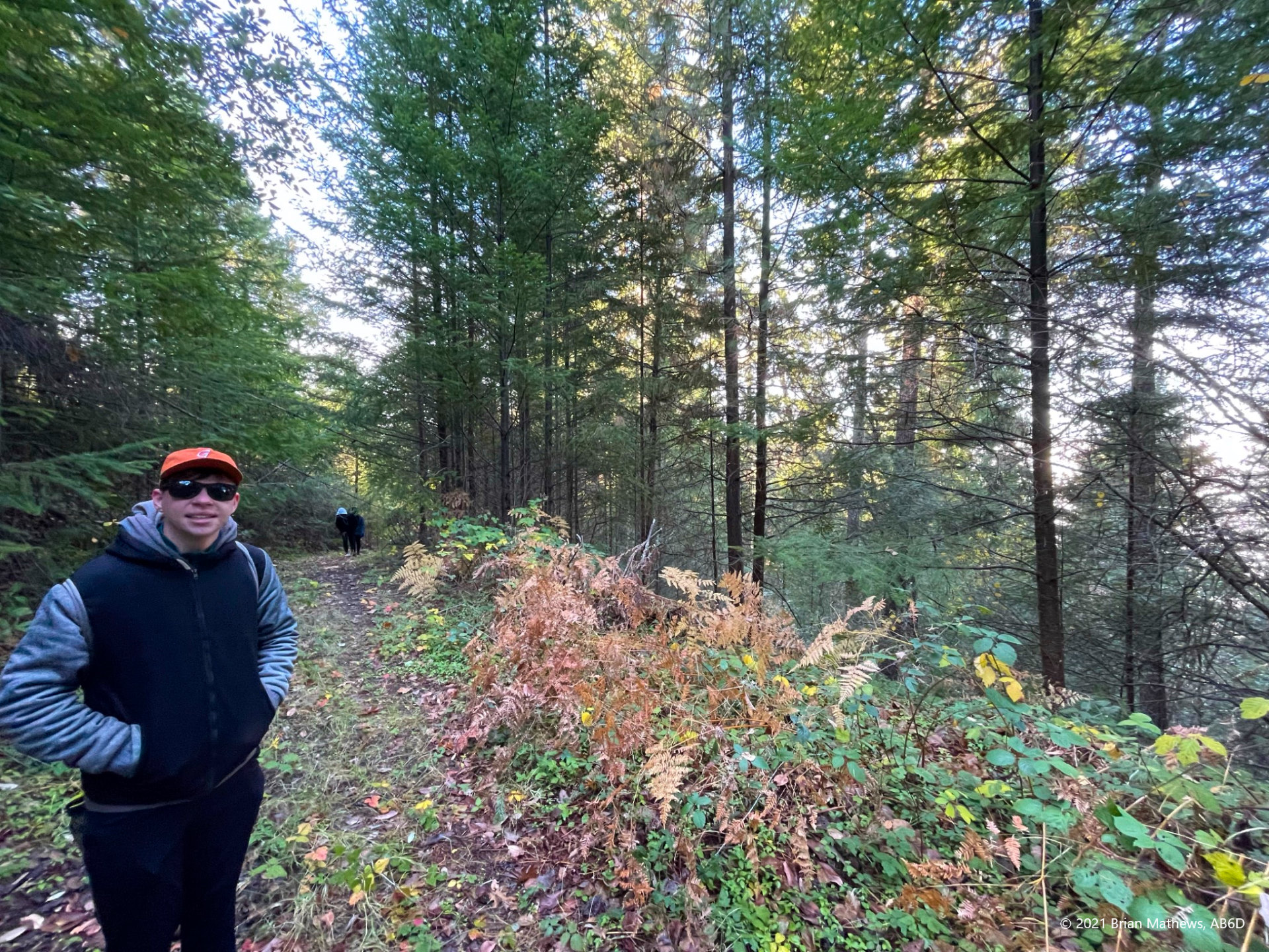
At around 2/3rds of a mile you come to a clearing (fully in the sun!) and if you look straight ahead it looks like the trail continues on the far side of the clearing and then ends. However the real trail continues in a hairpin turn (partially hidden by a tree) shown in the left of this image below.
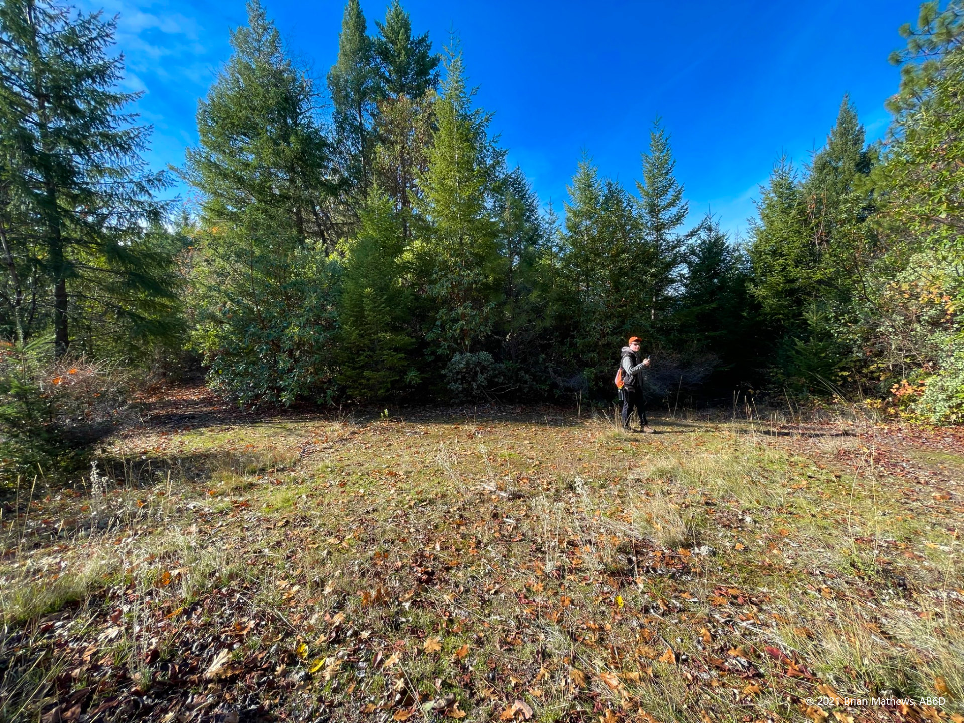
After you finish activating, you will notice that the trail continues south down the other side of the mountain. It is interesting that the maps don’t show the path continuing beyond the peak, while the actual path in front of you seems well maintained. Looking at the parcel maps I see there is private property south of the BLM land boundary and I assume the path continues to that private home.
| Reported data below is: | Round-trip |
| Summit Name | Sloan Mountain |
| Summit ID | W7O/SC-186 |
| AB6D’s activation date (UTC) | 2021-11-25 |
| Region (ex. County) | Oregon |
| SOTA Points | 1 |
| Prior activations at date of summit | 0 |
| QSO’s made by AB6D | 5 |
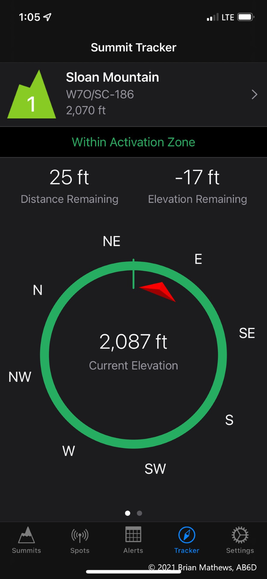
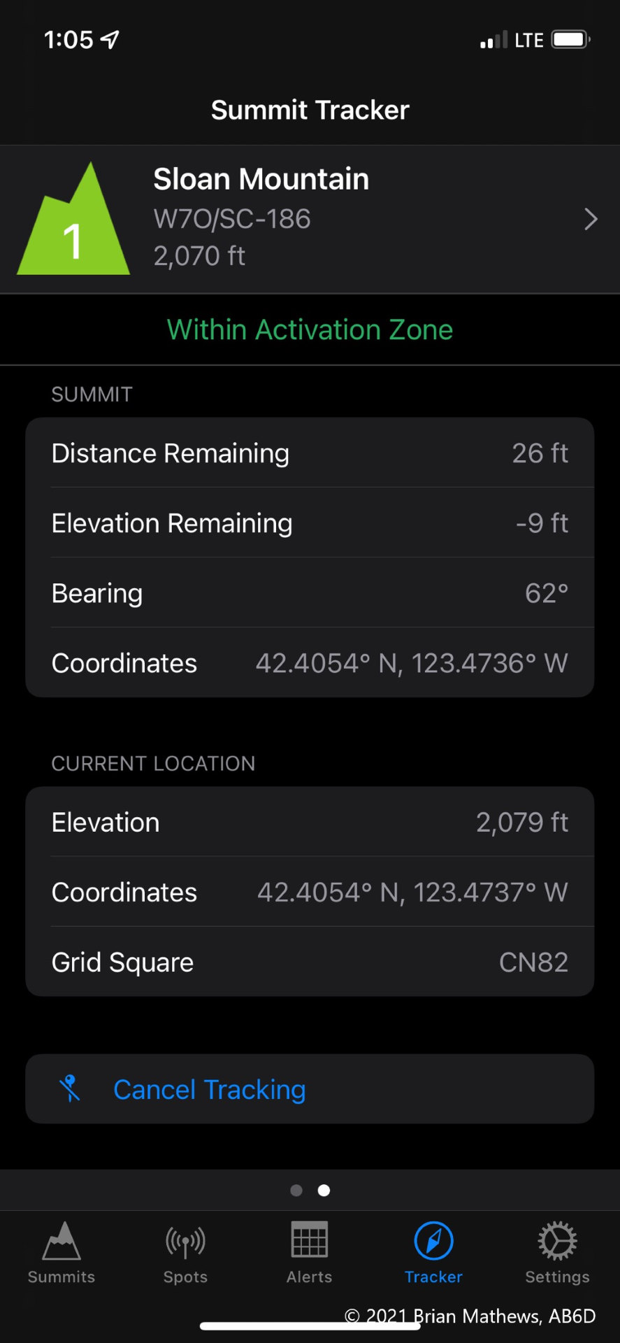
| Summit Elevation (ft) | 2,070 |
| Trailhead Elevation (ft) | 1,485 |
| Total Ascent on route used (ft) | 620 |
| Total Descent on route used (ft) | 620 |
| Round trip route (miles) | 2.12 |
| Enjoyment rating (10=best, see table) | 4 |
| Comparative difficulty rating (10=hardest, see table) Not based on standard ratings. | 4 |
| RF Interference at peak | none |
| Spotting method used | (SOTA Goat) |
| Cell Data Quality rating (0=no service, 2+=self-spot likely, see table) | 2 |
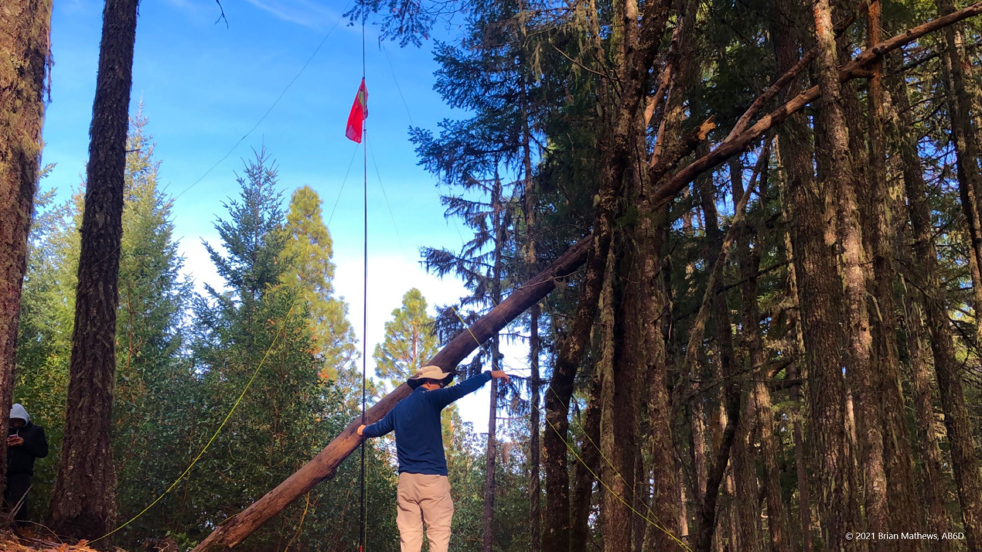
| Activation zone antenna supports | trees available |
| Landholder | USA Bureau of Land Management |
| Restrictions | None |
| Trailhead (lat, long) | 42.40521, -123.48034 |
| Route | Gaia GPS route |
| Moving Time (see Hiking Time Calculator) | 1 hour up, 30 min. down |
| Parking at trailhead? | Yes |
| Fees | None |
| Summit requires off-main-trail, use trail, or bushwhack hike? | Minimal. Only where trail is blocked by fallen trees. |
| Misc. trail notes | Great path, but fallen trees and brush block path in a few places. Easy to walk around. |
| Trip report video |
See this peak compared to others in my spreadsheet database, which includes definitions for the ratings and rankings.
Click on images in this post to view full-screen. Use arrows to sequence through the gallery.
Be First to Comment