Last updated on 2021-09-26
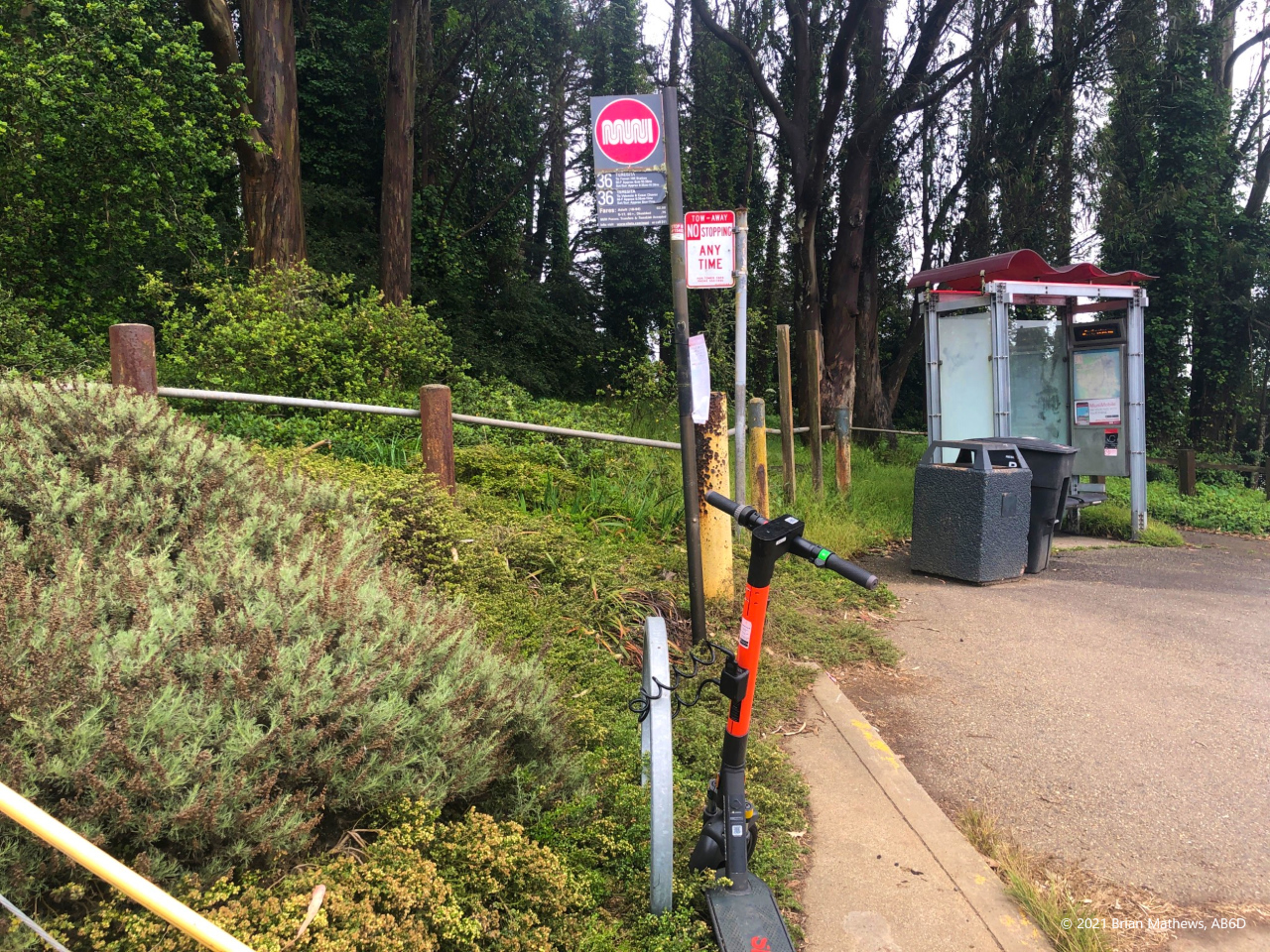
This peak is easy: the hike is short, and you can access it using public transportation. The San Francisco MUNI #36 Teresita bus stops at the trailhead (not just close to the trailhead: it is the trailhead)!
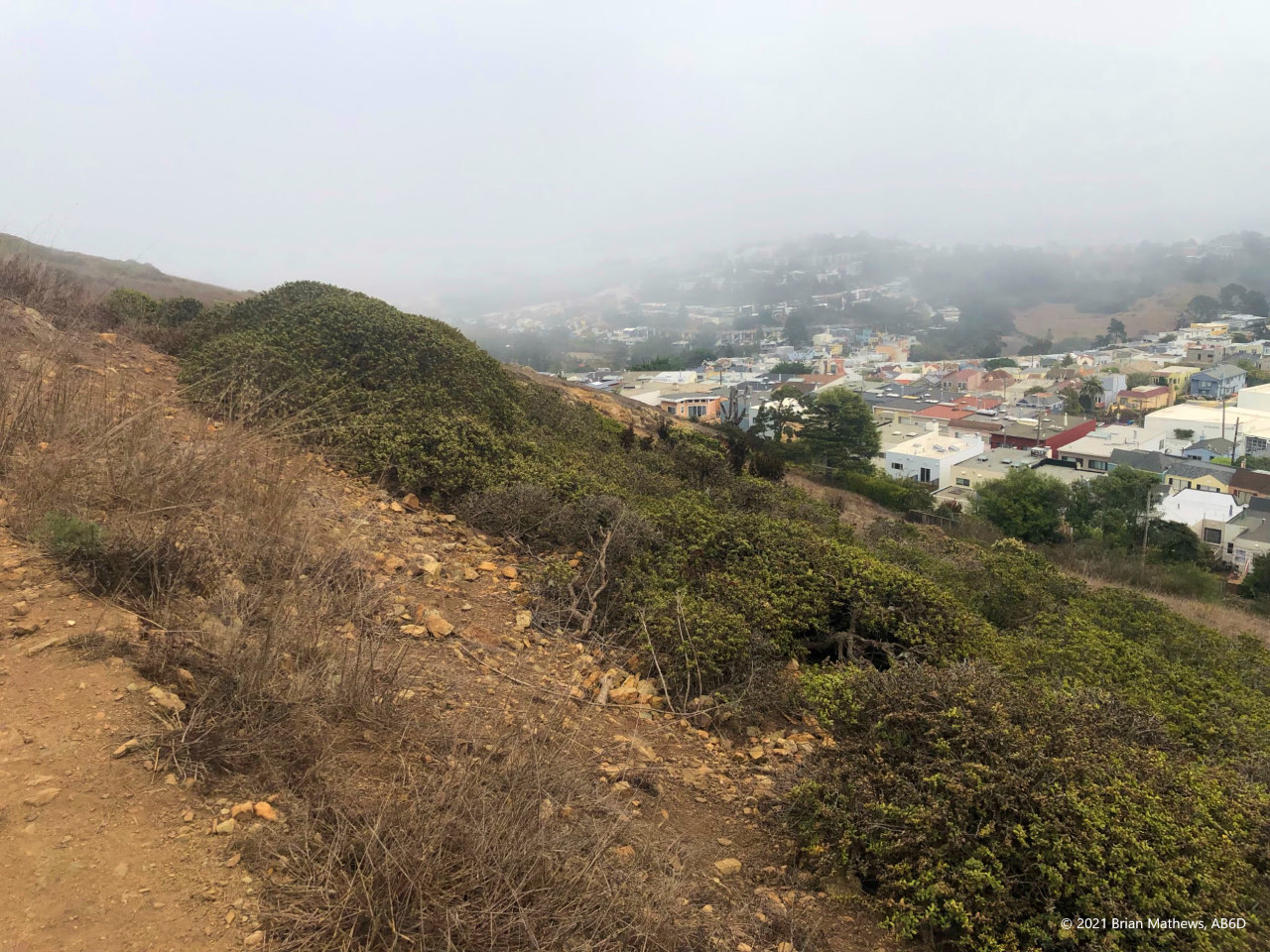
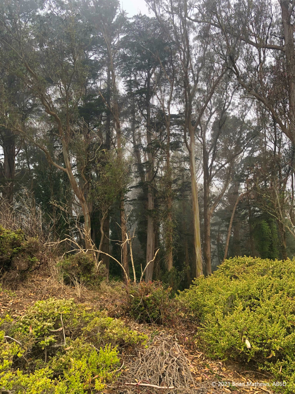
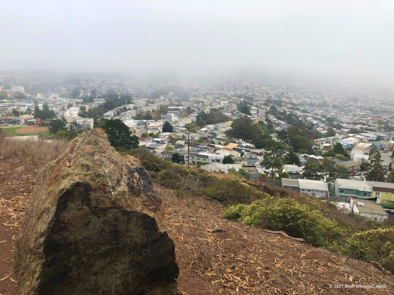
Being San Francisco, this hill can be quite cold due to ocean fog even in the summer and even when the rest of the Bay Area is hot. Bring layers as conditions near the coast change quickly.
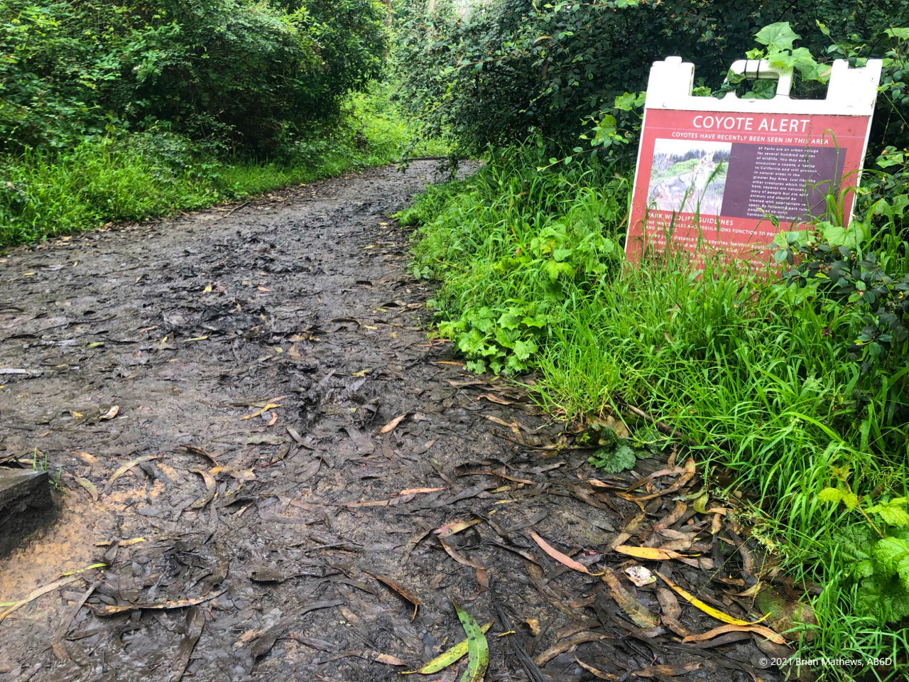
Street parking was surprisingly easy even on a Saturday with multiple spots available. In my case the parking was close to the trailhead, but I’m sure there will be times with nothing close available. Even though the hike was short, I brought my walking poles because the ground was wet and muddy from the continual fog even though we haven’t had rain in months. So San Francisco.
At the peak I met Elliott, SOTA enthusiast K6EL while he was packing up. He had a 50 watt radio with a battery that had just gone dead in the middle of a contact. Since Mt. Davidson is in San Francisco, it is one of the most activated peaks in the SOTA system: you too might bump into a fellow ham. I looked K6EL up in SOTAdata and found that while we had never connected, he was a huge SOTA participant in two interesting ways. First, in 2013 he was the record holder for the most Summit-to-Summit contacts. Second, in 2021 he had 116 activations (compared to my 19 at that date), but only 4 points! For all time he had 114 points over 629 activations because he does the same peaks multiple times a year (and you only qualify for points once-per-year per peak).
While he was finished, K6EL was in no hurry to leave and chatted with me the entire time I set up, activated, and tore down. I’ve looked him up on QRZ and find that he indeed is a very interesting person.
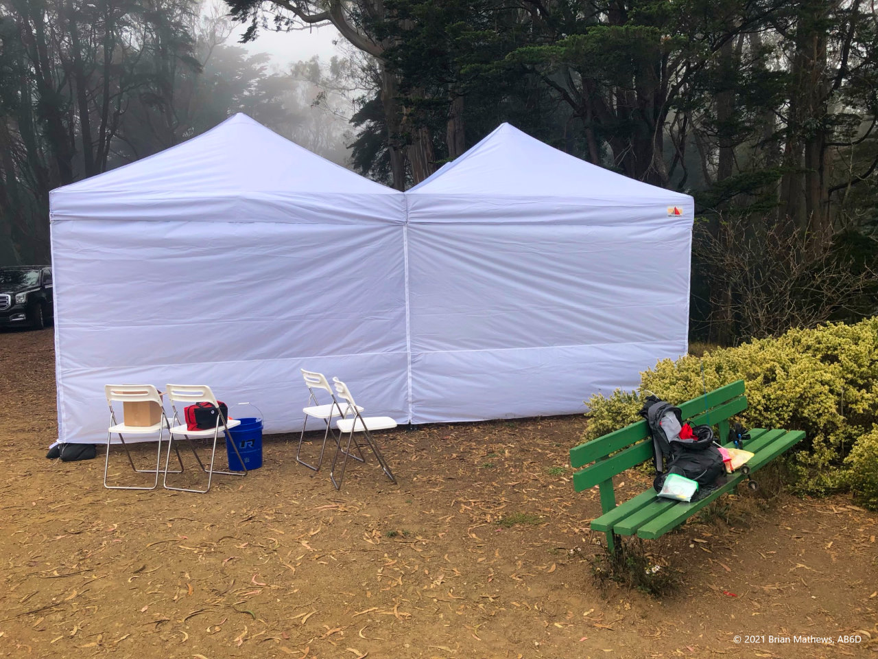
I was surprised to find vehicles at the peak. Looking at the maps there are no official roads. It seems someone had paid to have a wedding reception or some other event and gotten keys to the fire road gate to set up. Note the green operating bench where I put my gear. I’m sure on a clear day that bench is facing some fantastic views of the city, but how many fog-free days are there?
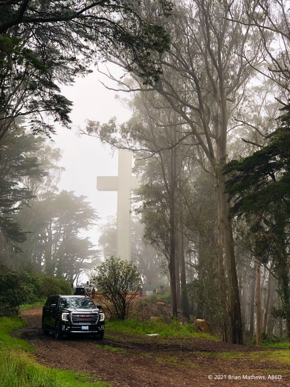
I remember there being some news story about how there can be a religious cross on government property in a park. I think the answer is that for a few square feet, it isn’t government property. I don’t really remember the true story, but it is surprising to find such a symbol when doing SOTA on public lands.
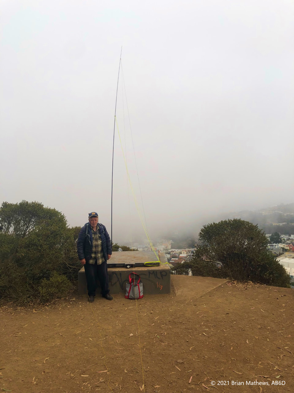
As for operating: this was supposed to be a very quick VHF activation so I could do another 3 peaks in Marin County on the same day. I self spotted on SOTA Goat and got NOTHING on VHF! Here I am in the middle of a big city with access to the Bay Area, and I couldn’t get a single contact. Was it strong RF overloading the front end? I don’t think so (it is possible) and I didn’t bother to add my SOTAbeams VHF filter. I was bummed because I had a lot of ground to cover before sunset and I was starting late in the day.
While K6EL watched, I unpacked the randomwire, mast, KX3, etc. and set up for HF. Even HF was challenging due to some interference at various points on the band (from what? I saw no immediate towers). I had trouble finding a slot where there wasn’t someone doing POTA and where there wasn’t interference. It. Took. Forever. To. Find. A. Frequency. Finally a got a few contacts on 40m, and then found a few more on 20m. Each time I had to send a QSY SOTA Goat alert.
What was supposed to be a super quick activation turned into the second most difficult activation of the day. Other peaks I hit afterward: Sausalito, China Camp, and Tiburon.
| Reported data below is: | Round-trip |
| Peak ID | W6/NC-423 |
| Trailhead | 37.73682, -122.45395 |
| Route | GaiaGPS |
| Distance | 0.6 miles |
| Ascent | 167 ft |
| Descent | 167 ft |
| Max Elevation | 906 ft, 1-SOTA-points |
| Min Elevation | 764 ft |
| Moving Time | 14 minutes |
| Spotting method | Cell phone (T-Mobile), SOTA Goat |
| Landholder | Mount Davidson Park, City and County of San Francisco |
| Activation zone antenna supports | Trees, sign-posts |
| Restrictions | None |
| Interference | Some on HF though I’m not sure from what. |
Be First to Comment